Urbex Map Diepholz
43 abandoned places in Diepholz
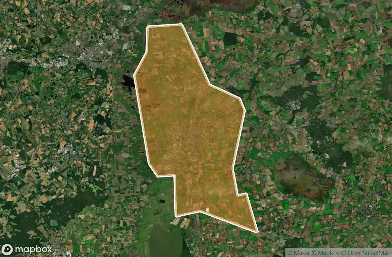
43
spots
One-time payment - lifetime access
100% Secure Checkout
SSL encrypted · No banking data stored
Regular lifetime updates
Themes included in this pack
- Bunkers
- Military
- Ruins
All abandoned places in Diepholz
43 verified GPS coordinates in the department of Diepholz, Niedersachsen, Germany.
Looking for abandoned places in Diepholz, Niedersachsen, Germany? Urbex Maps offers 43 verified GPS coordinates of abandoned buildings in this area, including Bunkers, Military, Ruins.
43
verified spots
GPS
Google Maps, Waze
May 2026
last update
Where to find abandoned places in Diepholz?
The best way to find abandoned places in Diepholz is through the interactive urbex map on Urbex Maps with 43 verified GPS coordinates. Top categories are Bunkers, Military, Ruins.
Types of abandoned places in Diepholz
- Bunkers
- Military
- Ruins
Spots in Diepholz

Bremer Straße, Süstedt

Bunker Bassum

Dimhausen

Eggeseer Straße, Stuhr

Flüsseviertel, Stuhr

Gartenstraße, Syke

Ghost of the Vector Grid

Gänsebachweg, Melchiorshausen

Hackmannsche Windmühle

Hauptstraße, Neubruchhausen

Hauptstraße, Schmalförden

Hermannstraße, Heiligenloh

Imported from the Shadows

Karrenbruch, Bassum

Kornweg, Stuhr

Kuhlenkamp, Asendorf

Kuppendorf

Lindern

Lindern

Maifeld, Stuhr

Nienburger Straße, Sulingen

PrinzHöfte Schule, Bassum

Richtweg, Kirchweyhe

Ristedt

Rodemühlen, Hemsloh

Rüssen

Shadows in the Coordinates

Shadows of the Coordinate

Shadows of the Schema

Shadows of the Vector

Siedenburger Straße, Borstel

Stuhr

Stuhr

Suan Thai, Syke

Sulinger Straße, Neuenkirchen

Syke

Syke

Syker Straße, Melchiorshausen

The Geometry of Silence

The Ghostly Coordinate

Traces Within The Grid

Wietinghäuser Moorweg, Schmalförden

Ärztehaus Heiligenfelde, Heiligenfelde


