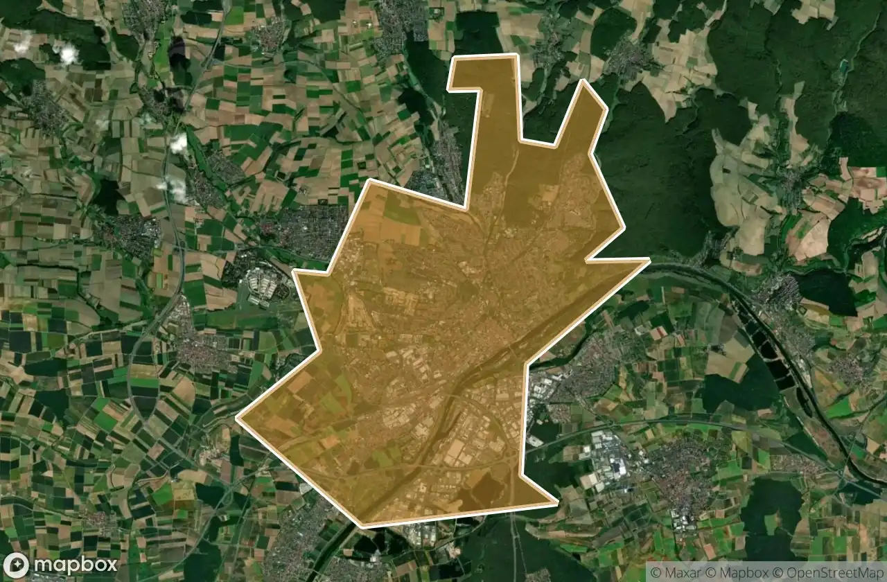
Urbex Map Schweinfurt Kreisfreie Stadt
14 abandoned places in Schweinfurt Kreisfreie Stadt
14
spots
One-time payment - lifetime access
100% Secure Checkout
SSL encrypted · No banking data stored
Regular lifetime updates
Themes included in this pack
- Abandoned factories
- Warehouses
All abandoned places in Schweinfurt Kreisfreie Stadt
14 verified GPS coordinates in the department of Schweinfurt Kreisfreie Stadt, Bayern, Germany.
Looking for abandoned places in Schweinfurt Kreisfreie Stadt, Bayern, Germany? Urbex Maps offers 14 verified GPS coordinates of abandoned buildings in this area, including Abandoned factories, Warehouses.
14
verified spots
GPS
Google Maps, Waze
June 2026
last update
Where to find abandoned places in Schweinfurt Kreisfreie Stadt?
The best way to find abandoned places in Schweinfurt Kreisfreie Stadt is through the interactive urbex map on Urbex Maps with 14 verified GPS coordinates. Top categories are Abandoned factories, Warehouses.
Types of abandoned places in Schweinfurt Kreisfreie Stadt
- Abandoned factories
- Warehouses
Spots in Schweinfurt Kreisfreie Stadt

Bergrheinfeld

Hainig, Schweinfurt

Heeresstraße, Schweinfurt

Heeresstraße, Schweinfurt

Military warehouse

Residual Mapping Echoes

Schweinfurt

Schweinfurt

Schweinfurt

Sennfeld

Stresemannstraße, Schweinfurt

Teilberg, Schweinfurt

The Mapped Silent Void

Traces of the Imported Void