Urbex Map Île-de-France
1,182 abandoned places • 8 departments
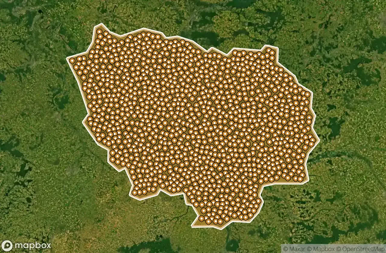
1,182
spots
One-time payment - lifetime access
100% Secure Checkout
SSL encrypted · No banking data stored
Regular lifetime updates
Themes included in this pack
- Abandoned houses
- Abandoned factories
- Castles
- Manors
- Hospitals
- Abandoned villas
- Train stations
- Bunkers
All abandoned places in Île-de-France
1,182 verified GPS coordinates across 8 departments. Castles, industrial ruins, hospitals, bunkers, mines.
Île-de-France in France is home to 1,182 verified abandoned locations. Explore Abandoned houses, Abandoned factories, Castles, Manors, Hospitals, Abandoned villas across 8 areas on the Urbex Maps interactive map with exact GPS coordinates.
1,182
verified spots
8
areas covered
GPS
Google Maps, Waze
May 2026
last update
How to find urbex spots in Île-de-France?
The best way to find abandoned places in Île-de-France is through the interactive urbex map on Urbex Maps with GPS coordinates. The region has 1,182 verified locations across 8 areas, including Seine-et-Marne, Essonne, Yvelines, Val-d'Oise, Paris. Top categories are Abandoned houses, Abandoned factories, Castles, Manors, Hospitals, Abandoned villas.
Abandoned places by area in Île-de-France
| Area | Spots | Map |
|---|---|---|
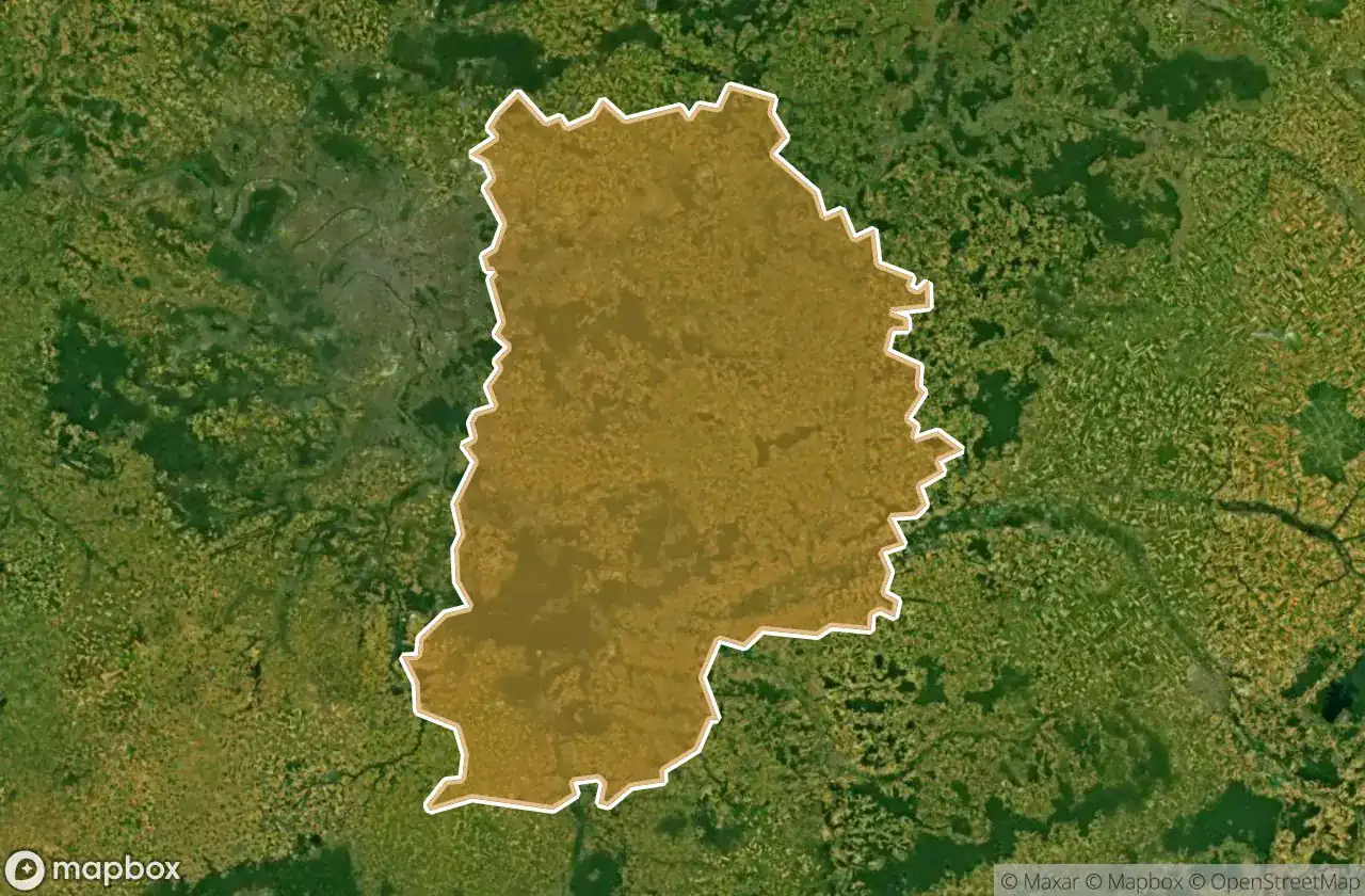
| Seine-et-Marne | 303 | View map → |
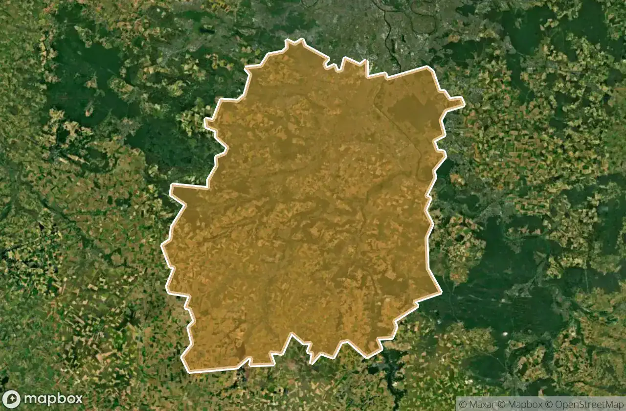
| Essonne | 206 | View map → |
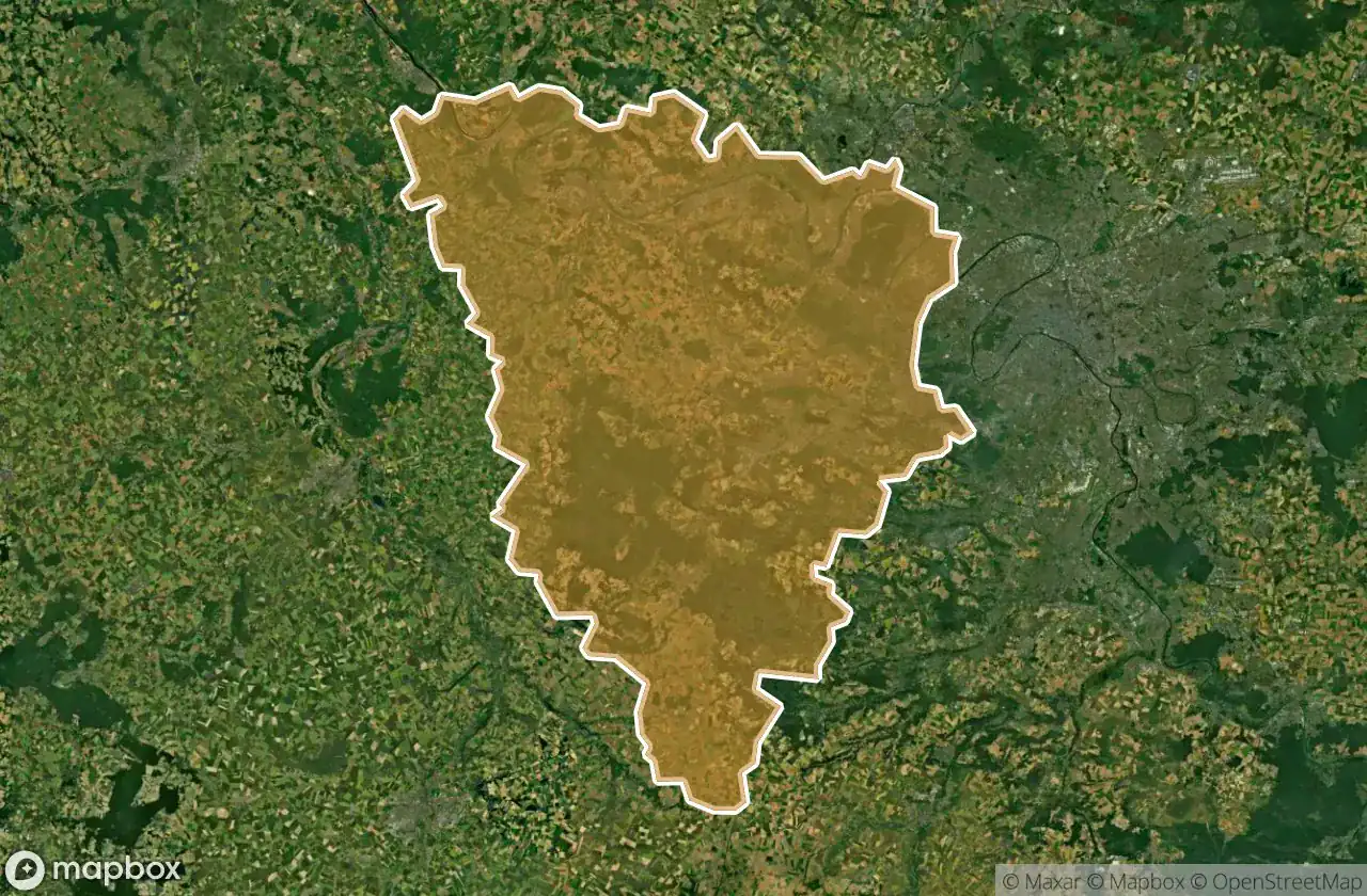
| Yvelines | 201 | View map → |
| Val-d'Oise | 174 | View map → |
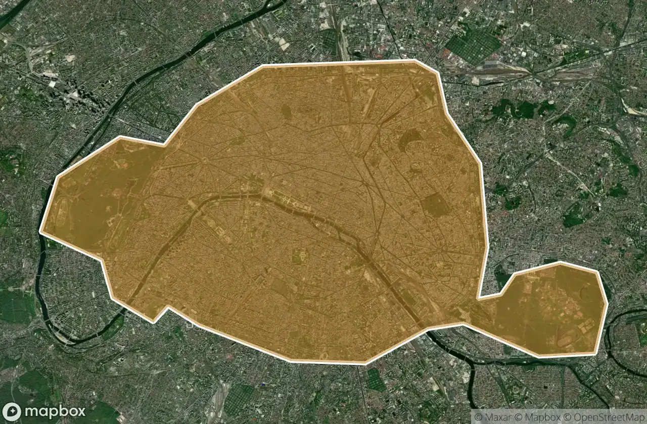
| Paris | 79 | View map → |
| Seine-Saint-Denis | 77 | View map → |
| Val-de-Marne | 73 | View map → |
| Hauts-de-Seine | 69 | View map → |
Types of abandoned places in Île-de-France
- Abandoned houses
- Abandoned factories
- Castles
- Manors
- Hospitals
- Abandoned villas
- Train stations
- Bunkers
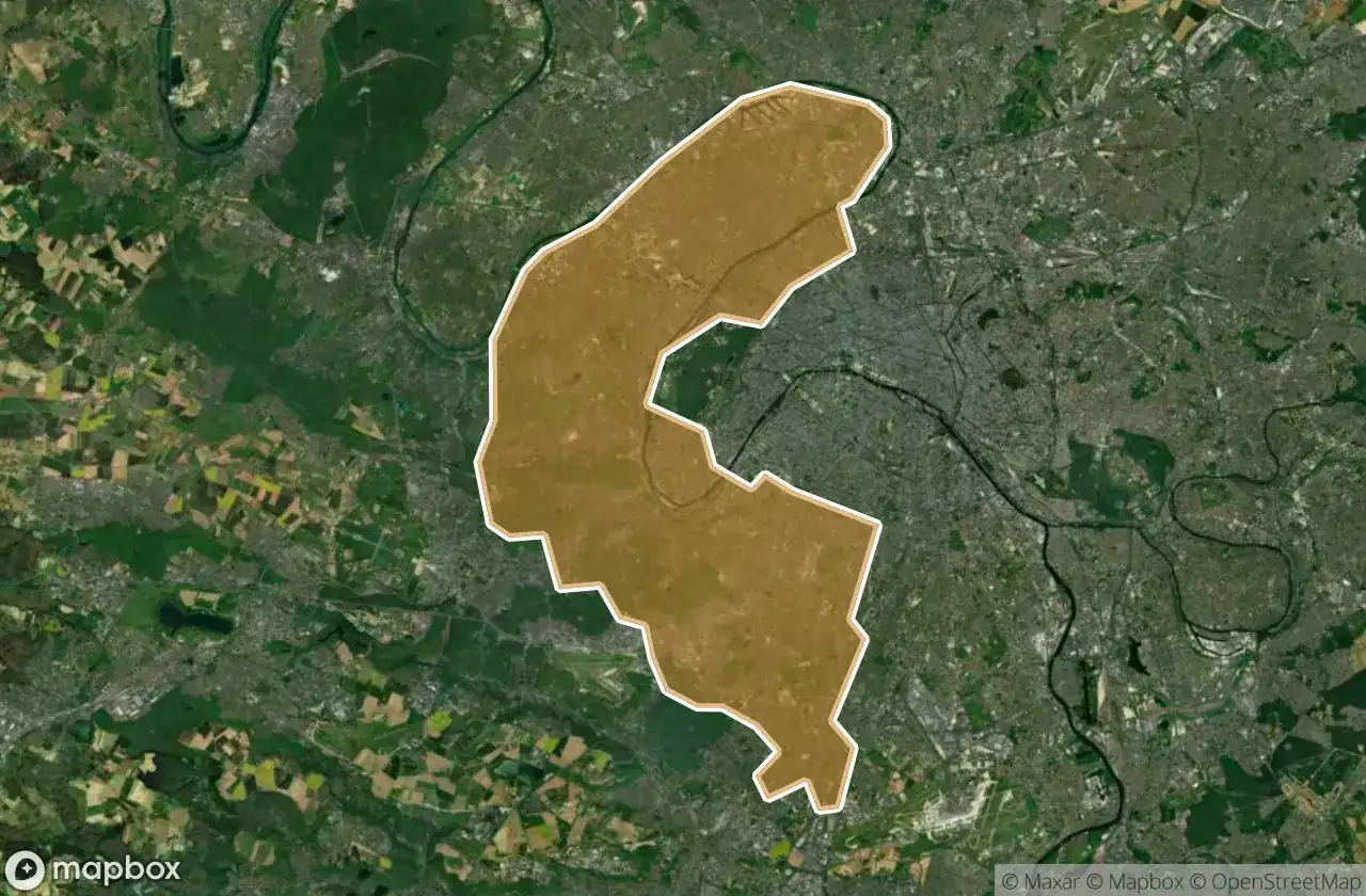
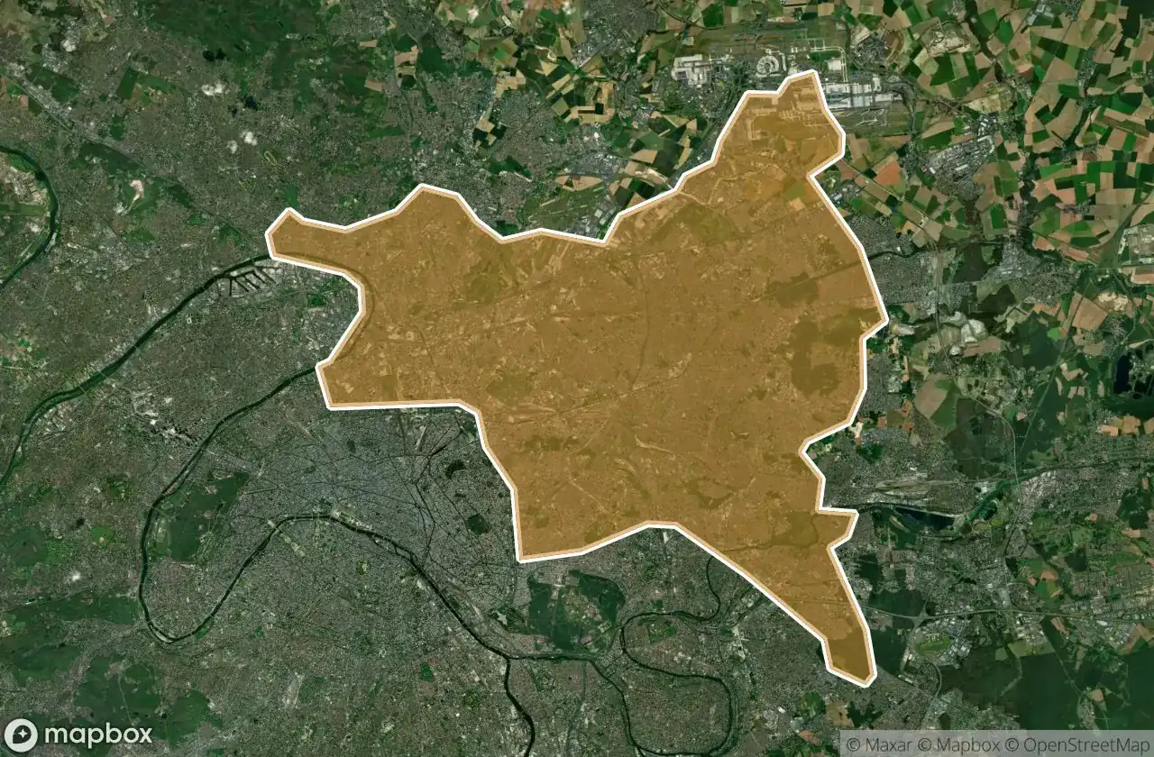
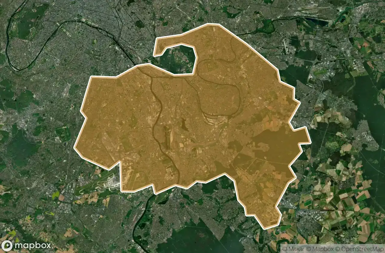
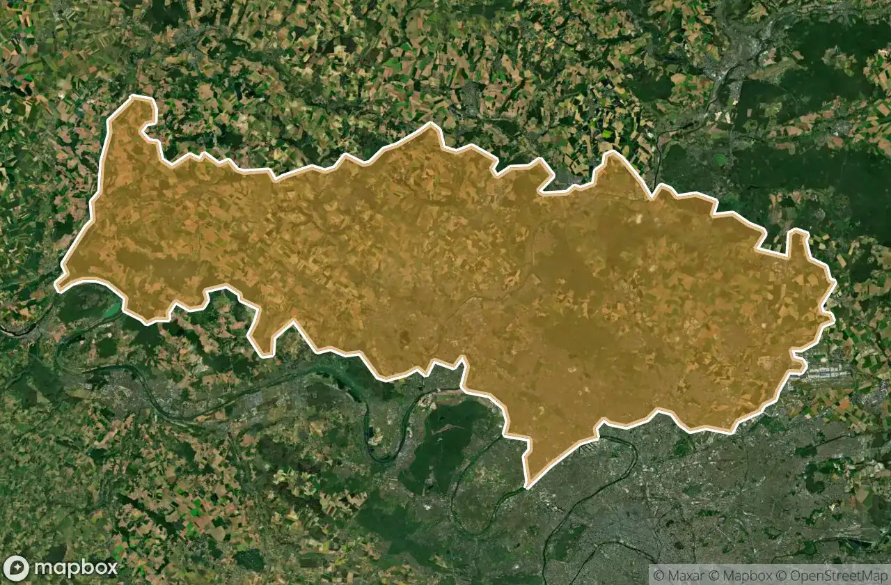
By department
Click a department to see its urbex spots.