Urbex Map Lilienfeld
22 abandoned places in Lilienfeld
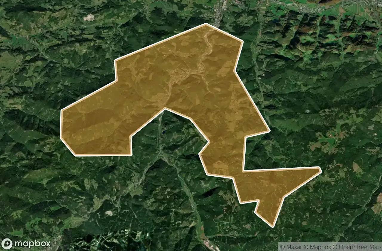
22
spots
One-time payment - lifetime access
100% Secure Checkout
SSL encrypted · No banking data stored
Regular lifetime updates
Themes included in this pack
- Ruins
- Attractions
All abandoned places in Lilienfeld
22 verified GPS coordinates in the department of Lilienfeld, Niederosterreich, Austria.
Looking for abandoned places in Lilienfeld, Niederosterreich, Austria? Urbex Maps offers 22 verified GPS coordinates of abandoned buildings in this area, including Ruins, Attractions.
22
verified spots
GPS
Google Maps, Waze
May 2026
last update
Where to find abandoned places in Lilienfeld?
The best way to find abandoned places in Lilienfeld is through the interactive urbex map on Urbex Maps with 22 verified GPS coordinates. Top categories are Ruins, Attractions.
Types of abandoned places in Lilienfeld
- Ruins
- Attractions
Spots in Lilienfeld

Am Sonnhof, St. Veit an der Gölsen

Annaberg

Anthofrotte, Türnitz

Dörfl, Marktl

Gütenbach, Kleinzell

Gütenbach, Ramsau

Innerwiesenbach-Kleinzeller Hinteralm, Lilienfeld

Kleinzell

Mitterriegelsteig, Stangental

Nodes of Static Silence

Schindeltal, St. Veit an der Gölsen

Secrets of the Red Eaves

Shadows in the Geometry

Shadows of Imported Geometry

Shadows of the Iron Garrison

Shadows of the Vector

The Emerald Shroud’s Forgotten Way

The Geometry of Silence

Traced Beyond The Grid

Traces in the Grid

Türkenmauer

Vertices of the Forgotten


