Urbex Map Gyeonggi Do
12 abandoned places • 7 departments
12
spots
One-time payment - lifetime access
100% Secure Checkout
SSL encrypted · No banking data stored
Regular lifetime updates
All abandoned places in Gyeonggi Do
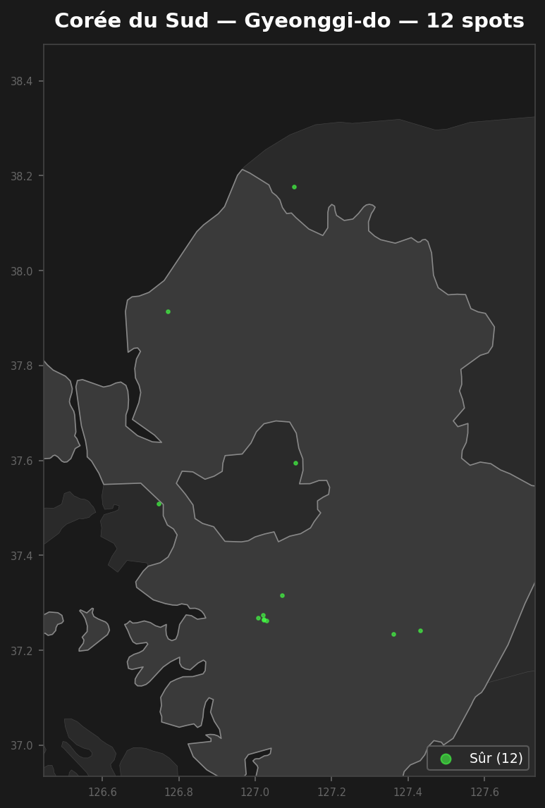
12 verified GPS coordinates across 7 departments. Castles, industrial ruins, hospitals, bunkers, mines.
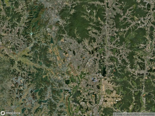
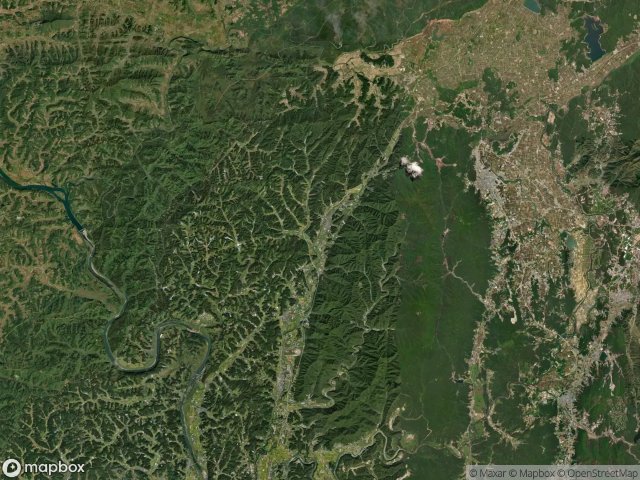
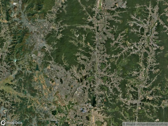
Discover 12 abandoned places in Gyeonggi Do, South Korea. From , this interactive urbex map covers 7 areas including Suwon, Icheon, Bucheon, Paju, Siheung. All spots come with verified GPS coordinates.
12
verified spots
7
areas covered
GPS
Google Maps, Waze
June 2026
last update
Where are the best abandoned places in Gyeonggi Do?
The best way to find abandoned places in Gyeonggi Do is through the interactive urbex map on Urbex Maps with GPS coordinates. The region has 12 verified locations across 7 areas, including Suwon, Icheon, Bucheon, Paju, Siheung. Top categories are .
Abandoned places by area in Gyeonggi Do
| Area | Spots | Map |
|---|---|---|
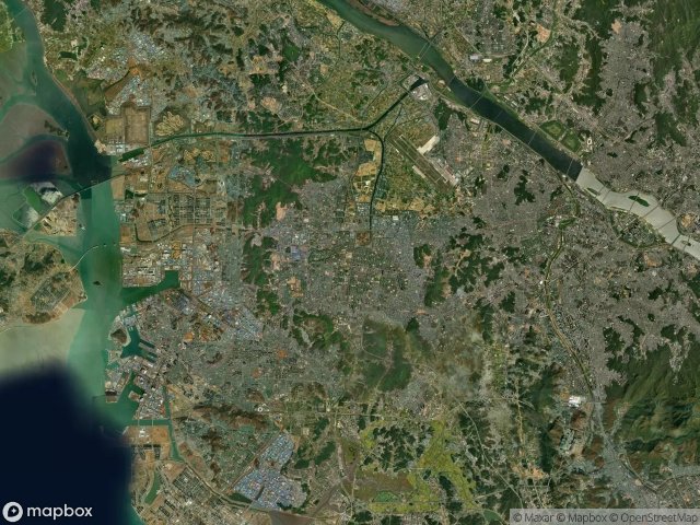
| Suwon | 5 | View map → |
| Icheon | 2 | View map → |
| Bucheon | 1 | View map → |
| Paju | 1 | View map → |
| Siheung | 1 | View map → |
| Yeoncheon | 1 | View map → |
| Yongin | 1 | View map → |
By department
Click a department to see its urbex spots.