Urbex 지도 Lake Macquarie
12 개의 폐허: Lake Macquarie
12
스팟
일회성 결제 - 평생 접근
100% 안전한 결제
SSL 암호화 연결 · 은행 정보 저장 안 함
평생 업데이트
모든 폐허: Lake Macquarie
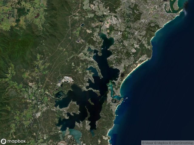
12 개의 검증된 GPS 좌표, Lake Macquarie, New South Wales, 호주.
Vous cherchez des lieux abandonnes a Lake Macquarie, New South Wales, 호주 ? Urbex Maps propose 12 coordonnees GPS verifiees de batiments abandonnes dans cette zone, dont .
12
spots verifies
GPS
Google Maps, Waze
2026년 6월
derniere mise a jour
Ou trouver des lieux abandonnes a Lake Macquarie ?
Les lieux abandonnes a Lake Macquarie se trouvent le mieux via la carte urbex interactive de Urbex Maps avec 12 coordonnees GPS verifiees. Les categories principales sont .
스팟: Lake Macquarie

Burwood Colliery access, Newcastle-Maitland

Burwood Road, Newcastle-Maitland

Colleen Lane, City of Lake Macquarie

Fernleigh Track, Newcastle-Maitland

Heaton Street, Newcastle-Maitland

Hindmarsh Street, Newcastle-Maitland

Kingfisher Shores

Pit

Saddlers Way, City of Lake Macquarie

Southern Headland Trail, City of Lake Macquarie

The Greenway Track, Newcastle-Maitland

Wangi Road, Rathmines