Urbex 지도 Marin
34 개의 폐허: Marin
34
스팟
일회성 결제 - 평생 접근
평생 업데이트
이 팩에 포함된 주제
- 벙커
- 폐허
- 군사
- 요새
- 포대
- 탑
모든 폐허: Marin
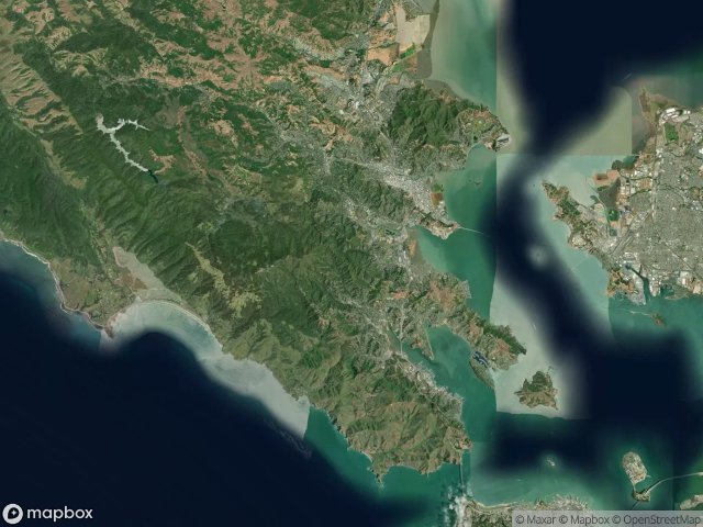
34 개의 검증된 GPS 좌표, Marin, California, 미국.
Looking for abandoned places in Marin, California, 미국? Urbex Maps offers 34 verified GPS coordinates of abandoned buildings in this area, including 벙커, 폐허, 군사, 요새, 포대, 탑.
34
verified spots
GPS
Google Maps, Waze
2026년 6월
last update
Where to find abandoned places in Marin?
The best way to find abandoned places in Marin is through the interactive urbex map on Urbex Maps with 34 verified GPS coordinates. Top categories are 벙커, 폐허, 군사, 요새, 포대, 탑.
Types of abandoned places in Marin
- 벙커
- 폐허
- 군사
- 요새
- 포대
- 탑
스팟: Marin

A Street, San Rafael

Abandoned rehab

Aberdeen Road, Novato

Almonte, Mill Valley

Battery Alexander

Battery Yates

Belvedere Island, Belvedere

Black Point-Green Point

Bunker Road

Coastal Trail

Coastal Trail

Conzelman Road

Echoes in the Spatial Grid

Fort McDowell (East Garrison), Tiburon

Hill 88

Inverness

Marinwood

Phantoms of the Imported Grid

Point Bonita Trail

Shadows of the Plotted Point

Sir Francis Drake Boulevard

Tennessee Valley Trail

The Geometry of Absence

The Geometry of Silence

The Geometry of Silence

The Grid’s Silent Echo

The Imported Phantom Grid

The Residual Coordinate

Traces Of Imported Shadows

Traces of the Grid

Traces of the Vector

Unknown Battery

Vectors of Forgotten Space

Walgreens, San Anselmo