Urbex 지도 Northumberland
13 개의 폐허: Northumberland
13
스팟
일회성 결제 - 평생 접근
100% 안전한 결제
SSL 암호화 연결 · 은행 정보 저장 안 함
평생 업데이트
모든 폐허: Northumberland
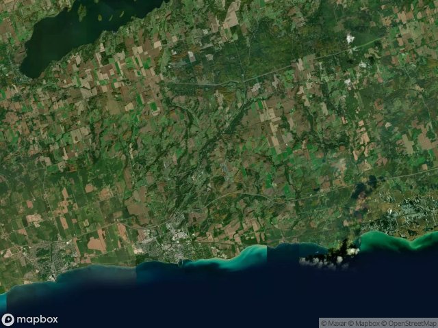
13 개의 검증된 GPS 좌표, Northumberland, Ontario, 캐나다.
Vous cherchez des lieux abandonnes a Northumberland, Ontario, 캐나다 ? Urbex Maps propose 13 coordonnees GPS verifiees de batiments abandonnes dans cette zone, dont .
13
spots verifies
GPS
Google Maps, Waze
2026년 6월
derniere mise a jour
Ou trouver des lieux abandonnes a Northumberland ?
Les lieux abandonnes a Northumberland se trouvent le mieux via la carte urbex interactive de Urbex Maps avec 13 coordonnees GPS verifiees. Les categories principales sont .
스팟: Northumberland

Cavan Street, Port Hope

County Road 2, Cramahe

County Road 2, Hamilton Township

Cranberry Road, Port Hope

Econo, Garden Hill

King Street East, Colborne

Northumberland County 45, Hastings

Oak Hill Road, Port Hope

Shadows Within the Grid

The Mapped Silence

Traces of the Mapped Void

Vernonville, Alnwick/Haldimand

Victoria Street North, Port Hope