Urbex 지도 Durham
46 개의 폐허: Durham
46
스팟
일회성 결제 - 평생 접근
100% 안전한 결제
SSL 암호화 연결 · 은행 정보 저장 안 함
평생 업데이트
모든 폐허: Durham
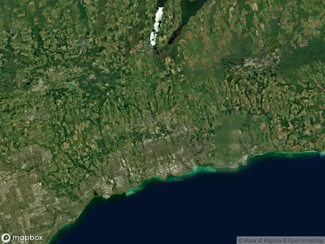
46 개의 검증된 GPS 좌표, Durham, Ontario, 캐나다.
Looking for abandoned places in Durham, Ontario, 캐나다? Urbex Maps offers 46 verified GPS coordinates of abandoned buildings in this area, including .
46
verified spots
GPS
Google Maps, Waze
2026년 6월
last update
Where to find abandoned places in Durham?
The best way to find abandoned places in Durham is through the interactive urbex map on Urbex Maps with 46 verified GPS coordinates. Top categories are .
스팟: Durham

9th Concession Road, Pickering

A Vector Into Silence

Belford, Pickering

Bowmanville POW camp, Bowmanville

Brougham, Pickering

Brown Street, Bowmanville

Central, Oshawa

Concession Road 3, Newcastle

Concession Road 5, Clarington

Concession Road 5, Orono

Concession Road 6, Uxbridge

Concession Street East, Clarington

Deckers Hill, Pickering

Finch Avenue, Pickering

Island Road, Port Perry

Longsault Road, Clarington

Macedonian Village, Whitby

Manchester, Scugog

Myrtle Station, Whitby

Oshawa

Regional Road 3, Enniskillen

Service Road, Newcastle

Seventh Concession Road, Pickering

Shadows of the Vector

Simcoe Street, Scugog

Stevenson, Whitby

Talbot, Brock

Taplin Drive, Pickering

The Geometry of Echoes

The Geometry of Silence

The Geometry of Silence

The Imported Phantom Grid

The Imported Silence

The Latent Coordinate

The Plotted Void Remains

The Vector's Silent Trace

Traced Within the Metadata

Traces Of A Ghost Map

Traces Within the Grid

Traces of Mapped Silence

Traces of the Grid

Tracing the Ghost Nodes

Vertices of the Void

Victoria Street East, Whitby

West Shore, Pickering

York Durham Line, Uxbridge