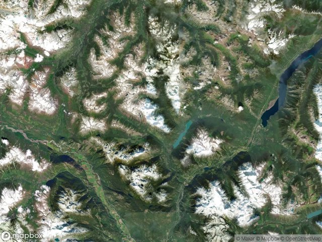
Urbex 지도 Squamish Lillooet
15 개의 폐허: Squamish Lillooet
15
스팟
일회성 결제 - 평생 접근
100% 안전한 결제
SSL 암호화 연결 · 은행 정보 저장 안 함
평생 업데이트
이 팩에 포함된 주제
- 폐허
- 건물
- 버려진 집
모든 폐허: Squamish Lillooet
15 개의 검증된 GPS 좌표, Squamish Lillooet, British Columbia, 캐나다.
Looking for abandoned places in Squamish Lillooet, British Columbia, 캐나다? Urbex Maps offers 15 verified GPS coordinates of abandoned buildings in this area, including 폐허, 건물, 버려진 집.
15
verified spots
GPS
Google Maps, Waze
2026년 6월
last update
Where to find abandoned places in Squamish Lillooet?
The best way to find abandoned places in Squamish Lillooet is through the interactive urbex map on Urbex Maps with 15 verified GPS coordinates. Top categories are 폐허, 건물, 버려진 집.
Types of abandoned places in Squamish Lillooet
- 폐허
- 건물
- 버려진 집
스팟: Squamish Lillooet

Area B (Cayoosh/Pavilion)

Athelney Pass Cabin (Silver Standard Cabin)

Barkley Valley Cabin (Elliot Creek Cabin), Area C (Pemberton Valley/Mount Currie/D'Arcy)

Big Bar, Area A (Upper Bridge River Valley)

Collapsed house

McGillivray Pass Cabin

Pemberton

Ponderosa Estates, Area C (Pemberton Valley/Mount Currie/D'Arcy)

Shadows on the Grid

Shalalth, Area B (Cayoosh/Pavilion)

Sucker Lake Road, Area A (Upper Bridge River Valley)

Taylor Road, Area C (Pemberton Valley/Mount Currie/D'Arcy)

The Imported Silence

The Scripted Void

Whistler