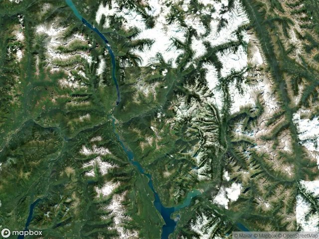
Urbex 지도 Columbia Shuswap
19 개의 폐허: Columbia Shuswap
19
스팟
일회성 결제 - 평생 접근
100% 안전한 결제
SSL 암호화 연결 · 은행 정보 저장 안 함
평생 업데이트
모든 폐허: Columbia Shuswap
19 개의 검증된 GPS 좌표, Columbia Shuswap, British Columbia, 캐나다.
Looking for abandoned places in Columbia Shuswap, British Columbia, 캐나다? Urbex Maps offers 19 verified GPS coordinates of abandoned buildings in this area, including .
19
verified spots
GPS
Google Maps, Waze
2026년 6월
last update
Where to find abandoned places in Columbia Shuswap?
The best way to find abandoned places in Columbia Shuswap is through the interactive urbex map on Urbex Maps with 19 verified GPS coordinates. Top categories are .
스팟: Columbia Shuswap

2nd Avenue, Field

Albert Canyon, Area B (Shelter Bay/Mica Creek)

Area A (Kicking Horse/Kinbasket Lake)

Area B (Shelter Bay/Mica Creek)

Area B (Shelter Bay/Mica Creek)

Area D (Falkland/Silver Creek)

Blackwater Ridge Forest Service Road, Area A (Kicking Horse/Kinbasket Lake)

Bush River Road, Area A (Kicking Horse/Kinbasket Lake)

Ghost in the Polygon

Golden

Nodes of an Imported Silence

Shadows of the Grid

The Geometry of Absence

The Geometry of Absence

The Imported Silence

Traces Within the Grid

Traces of Forgotten Coordinates

Traces within the Grid

Vectors of Silent History