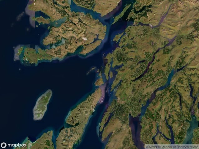
Urbex 지도 Argyll And Bute
32 개의 폐허: Argyll And Bute
32
스팟
일회성 결제 - 평생 접근
100% 안전한 결제
SSL 암호화 연결 · 은행 정보 저장 안 함
평생 업데이트
이 팩에 포함된 주제
- 난파선
모든 폐허: Argyll And Bute
32 개의 검증된 GPS 좌표, Argyll And Bute, Scotland, 영국.
Looking for abandoned places in Argyll And Bute, Scotland, 영국? Urbex Maps offers 32 verified GPS coordinates of abandoned buildings in this area, including 난파선.
32
verified spots
GPS
Google Maps, Waze
2026년 6월
last update
Where to find abandoned places in Argyll And Bute?
The best way to find abandoned places in Argyll And Bute is through the interactive urbex map on Urbex Maps with 32 verified GPS coordinates. Top categories are 난파선.
Types of abandoned places in Argyll And Bute
- 난파선
스팟: Argyll And Bute

A828

A846, Ballygrant

Abandoned Seminary

Aird

Ardgartan, Arrochar

B8065, Crosabol

Balephetrish West, Ceann a' Bhàigh

Bonawe Iron Furnace, Taynuilt

Crossapol, Crosabol

Echoes From The Schema

Hianais, Sgairinis

Kilfinan

Kilmichael Glassary, Bridgend

Manal, Baile Mhàrtainn

Millhouse Hostel

Old Poltalloch House

PA77 108, Ceann a' Bhàigh

Peatzeria, Bowmore

Playboy’s mansion

Shadows in the Grid

The Argyll and Bute Hospital, Lochgilphead

The Encoded Meridian

The Imported Echo

The Latent Coordinate

The Mapped Ghost Node

The Mapped Void

Torpedo range

Traces Beyond the Grid

Traces in the Geometry

Traces in the Grid

Traces of a Mapped Void

Traces of the Grid