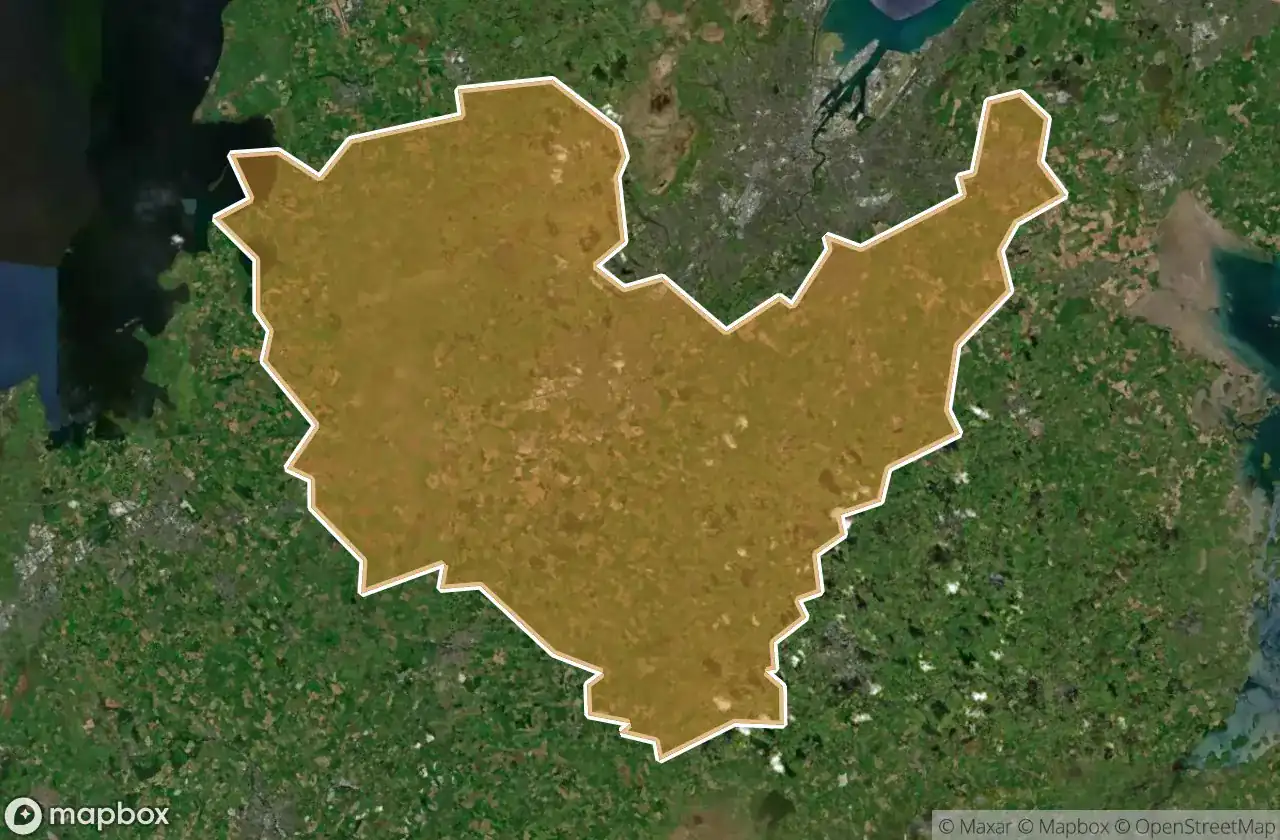
Urbex 지도 Lisburn And Castlereagh
21 개의 폐허: Lisburn And Castlereagh
21
스팟
일회성 결제 - 평생 접근
100% 안전한 결제
SSL 암호화 연결 · 은행 정보 저장 안 함
평생 업데이트
이 팩에 포함된 주제
- 수도교
- 벙커
- 병원
- 군사
모든 폐허: Lisburn And Castlereagh
21 개의 검증된 GPS 좌표, Lisburn And Castlereagh, Northern Ireland, 영국.
Looking for abandoned places in Lisburn And Castlereagh, Northern Ireland, 영국? Urbex Maps offers 21 verified GPS coordinates of abandoned buildings in this area, including 수도교, 벙커, 병원, 군사.
21
verified spots
GPS
Google Maps, Waze
2026년 6월
last update
Where to find abandoned places in Lisburn And Castlereagh?
The best way to find abandoned places in Lisburn And Castlereagh is through the interactive urbex map on Urbex Maps with 21 verified GPS coordinates. Top categories are 수도교, 벙커, 병원, 군사.
Types of abandoned places in Lisburn And Castlereagh
- 수도교
- 벙커
- 병원
- 군사
스팟: Lisburn And Castlereagh

BFS Hospital

Ballyskeagh Road, Drumbeg

Bells Lane, Lisburn

Broad Water Cycle Path, Aghalee

Diabetic Retinopathy Service, Lisburn

Glen Road, Glenavy

Glenavy

Glenavy Road, Lisburn

Honey we forgot the kids

Knockbracken Healthcare Park, Carryduff

Knockbracken Healthcare Park, Carryduff

Knockbracken Healthcare Park, Purdysburn

Lagmore Aqueduct

Monster of steel

Robert Stewart Spirits Grocer, Drumbeg

Shadows in the Coordinates

The Geometry of Absence

The Geometry of Absence

The Imported Void

Traces of Forgotten Coordinates

Tracing the Imported Void