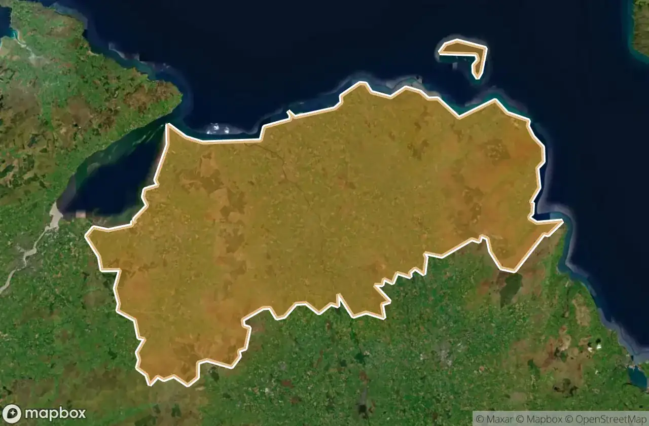
Urbex 지도 Causeway Coast And Glens
26 개의 폐허: Causeway Coast And Glens
26
스팟
일회성 결제 - 평생 접근
100% 안전한 결제
SSL 암호화 연결 · 은행 정보 저장 안 함
평생 업데이트
이 팩에 포함된 주제
- 묘지
모든 폐허: Causeway Coast And Glens
26 개의 검증된 GPS 좌표, Causeway Coast And Glens, Northern Ireland, 영국.
Looking for abandoned places in Causeway Coast And Glens, Northern Ireland, 영국? Urbex Maps offers 26 verified GPS coordinates of abandoned buildings in this area, including 묘지.
26
verified spots
GPS
Google Maps, Waze
2026년 6월
last update
Where to find abandoned places in Causeway Coast And Glens?
The best way to find abandoned places in Causeway Coast And Glens is through the interactive urbex map on Urbex Maps with 26 verified GPS coordinates. Top categories are 묘지.
Types of abandoned places in Causeway Coast And Glens
- 묘지
스팟: Causeway Coast And Glens

Altarichard Road, Causeway Coast and Glens District

Altarichard Road, Causeway Coast and Glens District

Ballyemon Road, Causeway Coast and Glens District

Ballyveely Road, Causeway Coast and Glens District

Ballyveely Road, Causeway Coast and Glens District

Ballyveely Road, Causeway Coast and Glens District

Belvedere, Castlerock

Capecastle, Causeway Coast and Glens District

Castlecat Road, Causeway Coast and Glens District

Clintyfinnan, Causeway Coast and Glens District

Cushendall Road, Ballycastle

Drones Road, Armoy

Dunluce Castle, Bushmills

Dunluce Road, Causeway Coast and Glens District

Kinbane Castle, Ballycastle

Layd Old Church (ruins), Cushendall

Shadows of the Grid

Shadows of the Grid

The Geometry of Silence

The Latent Coordinate

The Plotted Void

The Static Geometry

The Traced Geometric Void

Traces of the Imported Silence

Vertices of the Void

Whispers of the Vector