Urbex 지도 Armagh City Banbridge And Craig
19 개의 폐허: Armagh City Banbridge And Craig
19
스팟
일회성 결제 - 평생 접근
100% 안전한 결제
SSL 암호화 연결 · 은행 정보 저장 안 함
평생 업데이트
모든 폐허: Armagh City Banbridge And Craig
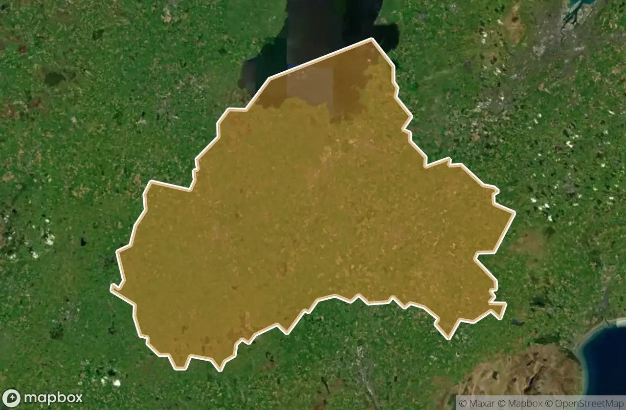
19 개의 검증된 GPS 좌표, Armagh City Banbridge And Craig, Northern Ireland, 영국.
Looking for abandoned places in Armagh City Banbridge And Craig, Northern Ireland, 영국? Urbex Maps offers 19 verified GPS coordinates of abandoned buildings in this area, including .
19
verified spots
GPS
Google Maps, Waze
2026년 6월
last update
Where to find abandoned places in Armagh City Banbridge And Craig?
The best way to find abandoned places in Armagh City Banbridge And Craig is through the interactive urbex map on Urbex Maps with 19 verified GPS coordinates. Top categories are .
스팟: Armagh City Banbridge And Craig

Ann Street, Gilford

Annaghmore Road, Armagh City, Banbridge and Craigavon District Council

Ballydown Road, Banbridge

Castlewellan Road, Banbridge

Derryraine Road, Armagh

Glebe Hill Manor, Tandragee

Harford Street, Portadown

Huntly Way, Banbridge

Killycomain Road, Portadown

Laurelvale Road, Laurelvale

Moss Bann Road, Banbridge

Old Sugar Island Road, Bleary

Residual Traces of the Grid

Shadows of the Vector

The Forgotten Coordinate

The Latent Coordinate

Traces of Mapped Silence

Vertices of the Silent

Windsor Avenue, Lurgan