Urbex 지도 Tameside
16 개의 폐허: Tameside
16
스팟
일회성 결제 - 평생 접근
100% 안전한 결제
SSL 암호화 연결 · 은행 정보 저장 안 함
평생 업데이트
모든 폐허: Tameside
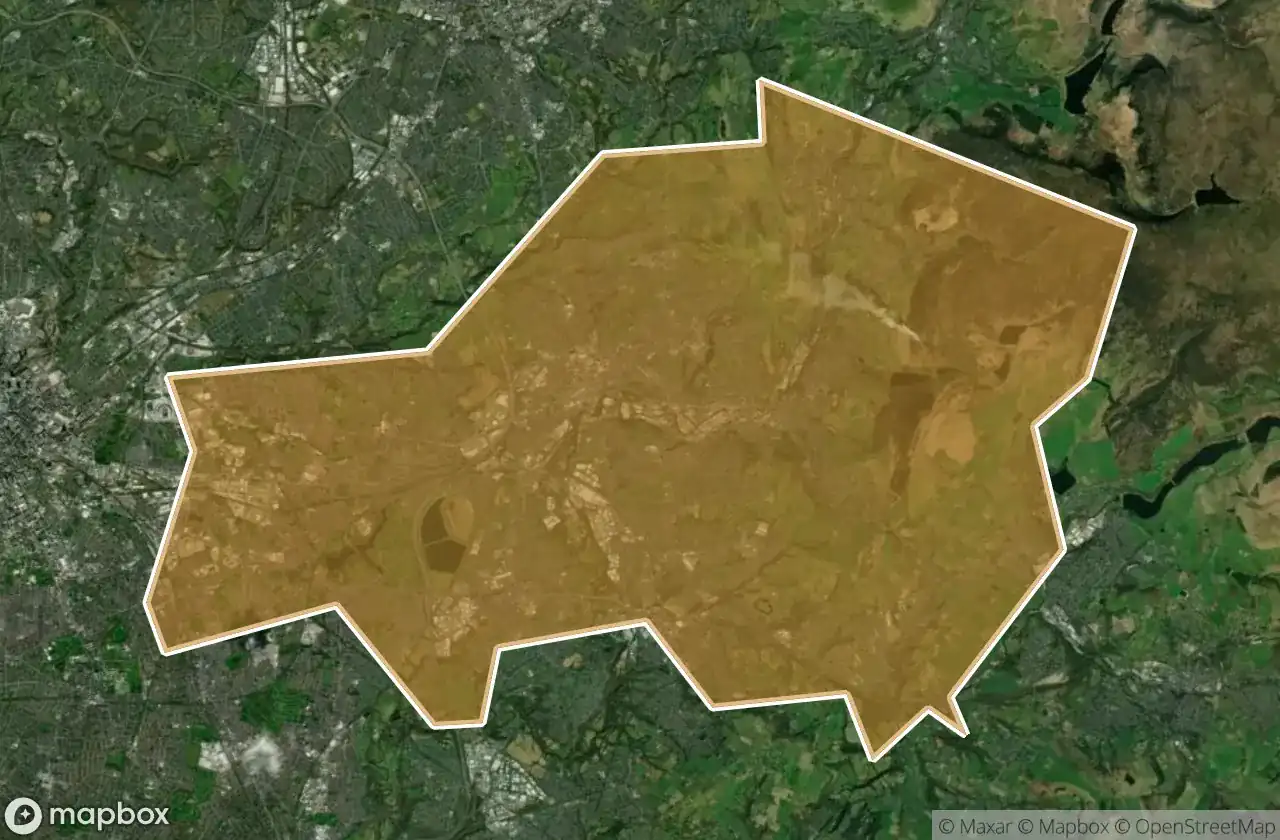
16 개의 검증된 GPS 좌표, Tameside, England, 영국.
Looking for abandoned places in Tameside, England, 영국? Urbex Maps offers 16 verified GPS coordinates of abandoned buildings in this area, including .
16
verified spots
GPS
Google Maps, Waze
2026년 6월
last update
Where to find abandoned places in Tameside?
The best way to find abandoned places in Tameside is through the interactive urbex map on Urbex Maps with 16 verified GPS coordinates. Top categories are .
스팟: Tameside

Ashton-under-Lyne

Cocker Hill, Stalybridge

Dukinfield

Gas Street, Ashton-under-Lyne

Longdendale

Manchester Road, Micklehurst

Millbrook Primary School, Stalybridge

Mossley

Mossley Cross, Micklehurst

Springbank Lane, Millbrook

Stamford Street, Stalybridge

Texas Street, Dukinfield

The Plotted Silence

The Plotted Void

Traced in Digital Dust

Traces of the Plotted Void