Urbex 지도 St Helens
20 개의 폐허: St Helens
20
스팟
일회성 결제 - 평생 접근
100% 안전한 결제
SSL 암호화 연결 · 은행 정보 저장 안 함
평생 업데이트
이 팩에 포함된 주제
- 포대
- 벙커
모든 폐허: St Helens
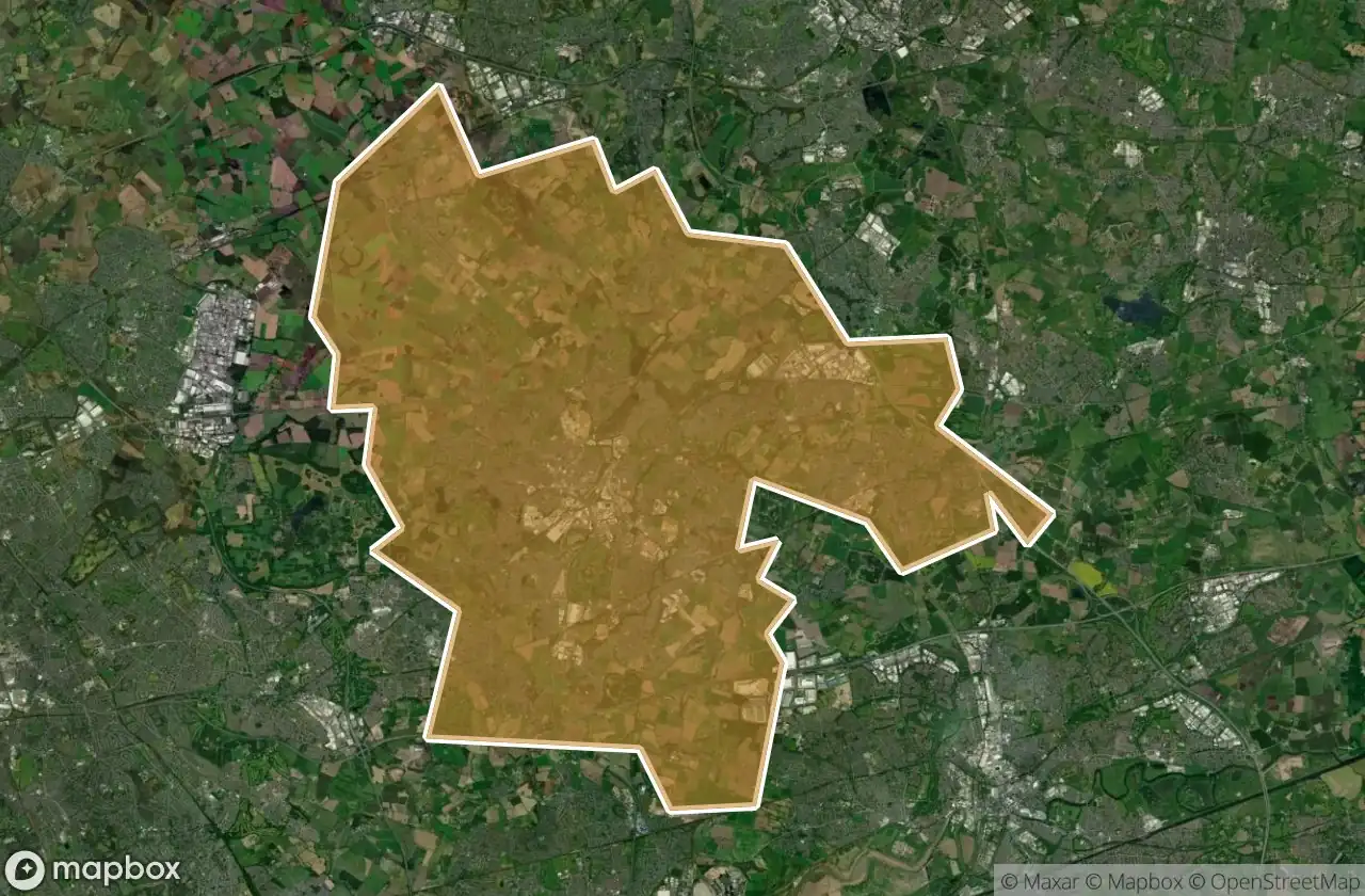
20 개의 검증된 GPS 좌표, St Helens, England, 영국.
Looking for abandoned places in St Helens, England, 영국? Urbex Maps offers 20 verified GPS coordinates of abandoned buildings in this area, including 포대, 벙커.
20
verified spots
GPS
Google Maps, Waze
2026년 6월
last update
Where to find abandoned places in St Helens?
The best way to find abandoned places in St Helens is through the interactive urbex map on Urbex Maps with 20 verified GPS coordinates. Top categories are 포대, 벙커.
Types of abandoned places in St Helens
- 포대
- 벙커
스팟: St Helens

Abbey Road, Moss Bank

Cannington Shaw Bottle Shop

Central Way, Newton-le-Willows

Crank, St Helens

East Lancashire Road, Blackbrook

King's Moss, Billinge

Leyland Green, Downall Green

Leyland Green, Downall Green

Lionel Street, St Helens

Military battery

Monastery Lane, St Helens

Parkside Colliery

Parkside Link Road West, Newton-le-Willows

St Helens

St Helens

St Helens

St Helens

The Geometry of Silence

The Millstone

Widnes