Urbex 지도 North Somerset
22 개의 폐허: North Somerset
22
스팟
일회성 결제 - 평생 접근
100% 안전한 결제
SSL 암호화 연결 · 은행 정보 저장 안 함
평생 업데이트
이 팩에 포함된 주제
- 버려진 집
모든 폐허: North Somerset
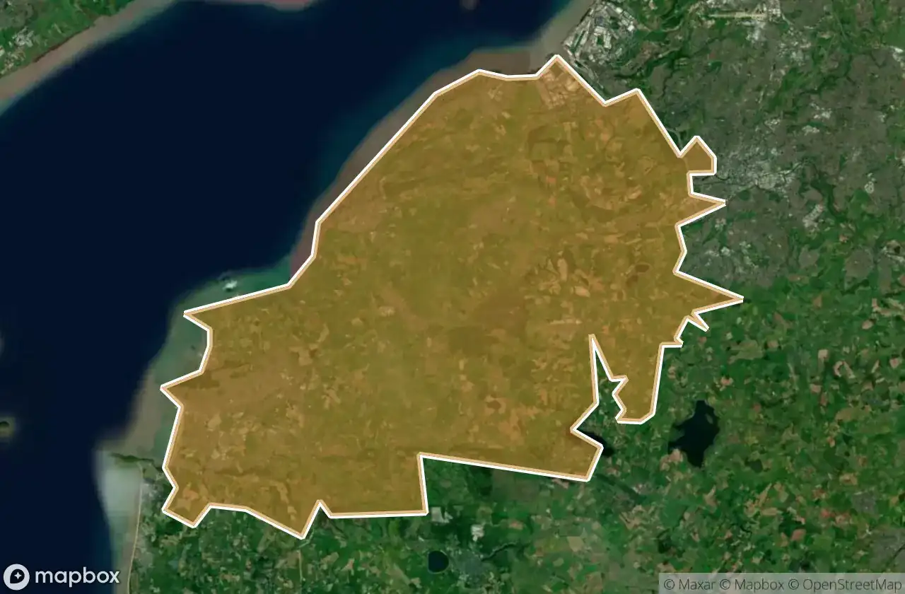
22 개의 검증된 GPS 좌표, North Somerset, England, 영국.
Looking for abandoned places in North Somerset, England, 영국? Urbex Maps offers 22 verified GPS coordinates of abandoned buildings in this area, including 버려진 집.
22
verified spots
GPS
Google Maps, Waze
2026년 6월
last update
Where to find abandoned places in North Somerset?
The best way to find abandoned places in North Somerset is through the interactive urbex map on Urbex Maps with 22 verified GPS coordinates. Top categories are 버려진 집.
Types of abandoned places in North Somerset
- 버려진 집
스팟: North Somerset

A370, Worle

EH Industries EH101 Heliliner, West Wick

Elm Grove, Locking Parklands

Engine Shed

Explosives Store

Garage & Foam Store

Hillstones, Weston-super-Mare

Kwik Save Ruins

Long Ashton

Nailsea

Petersfield Care Home, North Weston

Portishead

Roughmoor, Woolvershill Batch

Roughmoor, Woolvershill Batch

Somerset Square, Bristol

St. Georges

St. Georges, West Wick

Sue Ottey Way, Flax Bourton

The Wild Country, Barrow Gurney

West End Farm Caravan Park, Locking Parklands

Wolvershill Livery, Woolvers Hill

Yatton