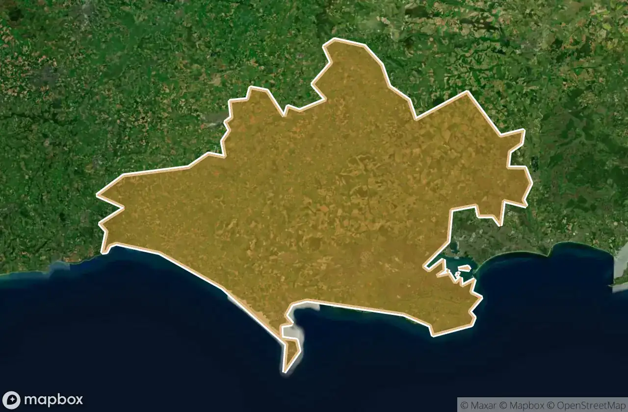
Urbex 지도 Dorset
34 개의 폐허: Dorset
34
스팟
일회성 결제 - 평생 접근
100% 안전한 결제
SSL 암호화 연결 · 은행 정보 저장 안 함
평생 업데이트
이 팩에 포함된 주제
- 버려진 집
- 벙커
- 폐공장
- 방앗간
- 감옥
- 포대
- 폐허
- 성
모든 폐허: Dorset
34 개의 검증된 GPS 좌표, Dorset, England, 영국.
Looking for abandoned places in Dorset, England, 영국? Urbex Maps offers 34 verified GPS coordinates of abandoned buildings in this area, including 버려진 집, 벙커, 폐공장, 방앗간, 감옥, 포대.
34
verified spots
GPS
Google Maps, Waze
2026년 6월
last update
Where to find abandoned places in Dorset?
The best way to find abandoned places in Dorset is through the interactive urbex map on Urbex Maps with 34 verified GPS coordinates. Top categories are 버려진 집, 벙커, 폐공장, 방앗간, 감옥, 포대.
Types of abandoned places in Dorset
- 버려진 집
- 벙커
- 폐공장
- 방앗간
- 감옥
- 포대
- 폐허
- 성
스팟: Dorset

AKH heating

Arne Hill Heavy Anti-Aircraft Battery

B3147, Dorchester

Beaminster

Belle View Bunker

Castletown

Cattistock

Chideock Castle (Site of) & Martyrs Cross

Clapgate, Stanbridge

Crewkerne
![Dead Spot - River Prison [GBR]](/api/images/6e479d1ca8b19083)
Dead Spot - River Prison [GBR]

Decoy House

Incline Road, Castletown

Incline Road, Castletown

Overcombe

Shaftesbury

Shaftesbury Road, Gillingham

Sixpenny Handley

South Bark Lime Kiln

Stanbridge

Sturminster Newton

Sturminster Newton

Swanage

Swanage

Swanage

The Geometry of Silence

The Mapped Absence

The Old Mill

The Verne Citadel, Fortuneswell

Vertices of the Forgotten

West Bottom, Chaldon Herring

Wool

Wool

tumulus, Milborne St Andrew