Urbex 지도 Central Bedfordshire
21 개의 폐허: Central Bedfordshire
21
스팟
일회성 결제 - 평생 접근
100% 안전한 결제
SSL 암호화 연결 · 은행 정보 저장 안 함
평생 업데이트
모든 폐허: Central Bedfordshire
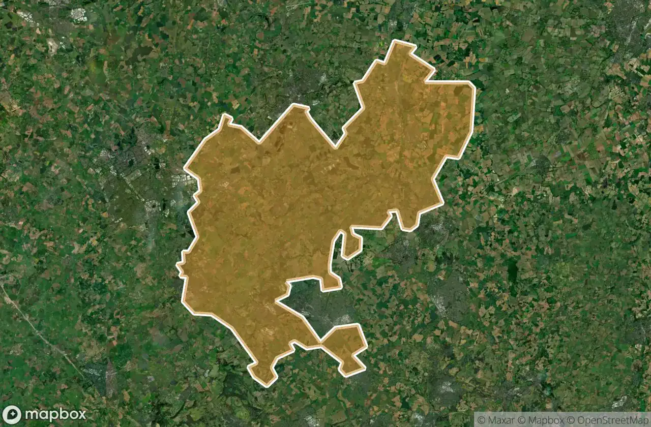
21 개의 검증된 GPS 좌표, Central Bedfordshire, England, 영국.
Looking for abandoned places in Central Bedfordshire, England, 영국? Urbex Maps offers 21 verified GPS coordinates of abandoned buildings in this area, including .
21
verified spots
GPS
Google Maps, Waze
2026년 6월
last update
Where to find abandoned places in Central Bedfordshire?
The best way to find abandoned places in Central Bedfordshire is through the interactive urbex map on Urbex Maps with 21 verified GPS coordinates. Top categories are .
스팟: Central Bedfordshire

A4146, Leighton Buzzard

A5130, Woburn

Ampthill

Biggleswade Green Ring, Biggleswade

Dunstable

Greensands Ridge Walk, Clophill

Hitchin Road, Arlesey

Houghton Regis

Leighton Road, Stanbridge

Lower Caldecote, Upper Caldecote

Old Warden Tunnel, Old Warden

Shadows of the Imported Grid

Shadows of the Vector

Silsoe

Some rusy sheds

The Jitty, Aspley Guise

Thorn, Houghton Regis

Trace of the Silent Vector

Traces of Mapped Silence

Traces of the Grid

Tyrrells End, Eversholt