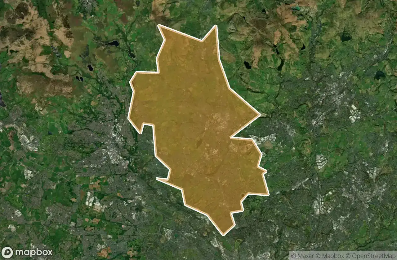
Urbex 지도 Bury
17 개의 폐허: Bury
17
스팟
일회성 결제 - 평생 접근
100% 안전한 결제
SSL 암호화 연결 · 은행 정보 저장 안 함
평생 업데이트
이 팩에 포함된 주제
- 농장
- 폐공장
- 버려진 집
모든 폐허: Bury
17 개의 검증된 GPS 좌표, Bury, England, 영국.
Looking for abandoned places in Bury, England, 영국? Urbex Maps offers 17 verified GPS coordinates of abandoned buildings in this area, including 농장, 폐공장, 버려진 집.
17
verified spots
GPS
Google Maps, Waze
2026년 6월
last update
Where to find abandoned places in Bury?
The best way to find abandoned places in Bury is through the interactive urbex map on Urbex Maps with 17 verified GPS coordinates. Top categories are 농장, 폐공장, 버려진 집.
Types of abandoned places in Bury
- 농장
- 폐공장
- 버려진 집
스팟: Bury

Blue Route, Prestwich

Bottoms (Cinder Hill Engine House) ruins

Cinder Hill Factory (ruins)

Cinder Hill Farm

Clarke's Farm

Hamlet's Farm

Holcombe Head Farm

Ladyshore Weir

Little Lever

Moorbottom Road, Hazelhurst

Moorbottom Road, Ramsbottom

Nook Farm

Sewage Works

South Lodge (site of)

Taylor's Farm

Tottington

Tottington