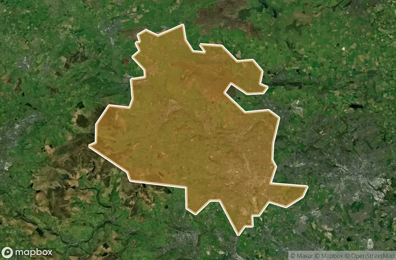
Urbex 지도 Bradford
28 개의 폐허: Bradford
28
스팟
일회성 결제 - 평생 접근
100% 안전한 결제
SSL 암호화 연결 · 은행 정보 저장 안 함
평생 업데이트
이 팩에 포함된 주제
- 폐공장
- 묘지
- 교회
- 방앗간
모든 폐허: Bradford
28 개의 검증된 GPS 좌표, Bradford, England, 영국.
Looking for abandoned places in Bradford, England, 영국? Urbex Maps offers 28 verified GPS coordinates of abandoned buildings in this area, including 폐공장, 묘지, 교회, 방앗간.
28
verified spots
GPS
Google Maps, Waze
2026년 6월
last update
Where to find abandoned places in Bradford?
The best way to find abandoned places in Bradford is through the interactive urbex map on Urbex Maps with 28 verified GPS coordinates. Top categories are 폐공장, 묘지, 교회, 방앗간.
Types of abandoned places in Bradford
- 폐공장
- 묘지
- 교회
- 방앗간
스팟: Bradford

Back Lane, Stanbury

Bowling Cemetery Chapel

Carr Lane, Denholme

Cragg Bottom Road, Keighley

Cross Gates

Drighlington

Enfield Side Road, Stanbury

Enfield Side Road, Stanbury

Foster Park View, Denholme

Fountain Hall, Bradford

Griff Mill

Guiseley

High Lathe

Hungerhill, Queensbury

Keighley Road, Cullingworth

Keighley Road, Cullingworth

Kennel Lane, Oxenhope

Manywells Height, Cullingworth

Manywells Height, Cullingworth

New Works Road, Oakenshaw

Parson's Lane, Addingham

Ponden Lane, Stanbury

Shipley

Texere Yarns Yarn Factory

West Croft Head, Oxenhope

Whalley Lane, Denholme

White Cote

Yorkshire Martyrs catholic collage