Urbex 지도 Sumy
140 개의 폐허 • 17 지역
140
스팟
일회성 결제 - 평생 접근
100% 안전한 결제
SSL 암호화 연결 · 은행 정보 저장 안 함
평생 업데이트
이 팩에 포함된 주제
- 농장
- 폐허
모든 폐허: Sumy
140 개의 검증된 GPS 좌표, 17개 지역. 성, 산업 폐허, 병원, 벙커, 광산.
Looking for abandoned places in Sumy, 우크라이나? Urbex Maps offers an interactive urbex map with 140 verified GPS coordinates of abandoned buildings, including 농장, 폐허. The map covers 17 areas including Sums Ka, Seredyno Buds Kyi, Lebedyns Kyi, Trostianets Kyi, Sums Kyi.
140
verified spots
17
areas covered
GPS
Google Maps, Waze
2026년 6월
last update
Where to find abandoned places in Sumy?
The best way to find abandoned places in Sumy is through the interactive urbex map on Urbex Maps with GPS coordinates. The region has 140 verified locations across 17 areas, including Sums Ka, Seredyno Buds Kyi, Lebedyns Kyi, Trostianets Kyi, Sums Kyi. Top categories are 농장, 폐허.
Abandoned places by area in Sumy
| Area | Spots | Map |
|---|---|---|
| Sums Ka | 26 | View map → |
| Seredyno Buds Kyi | 21 | View map → |
| Lebedyns Kyi | 20 | View map → |
| Trostianets Kyi | 18 | View map → |
| Sums Kyi | 17 | View map → |
| Konotops Kyi | 8 | View map → |
| Okhtyrs Kyi | 6 | View map → |
| Shostkins Kyi | 4 | View map → |
| Bilopils Kyi | 3 | View map → |
| Krasnopil S Kyi | 3 | View map → |
Types of abandoned places in Sumy
- 농장
- 폐허
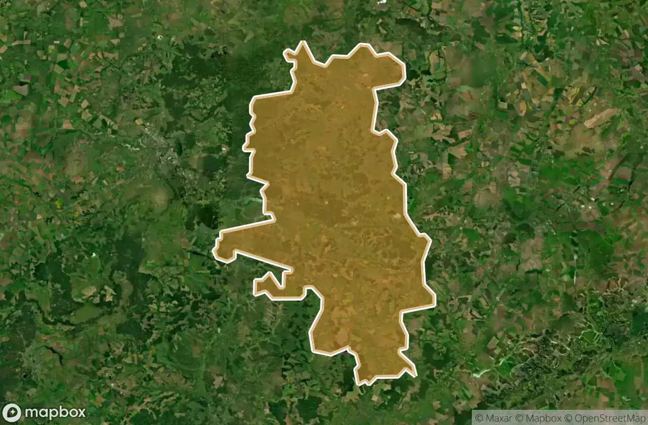
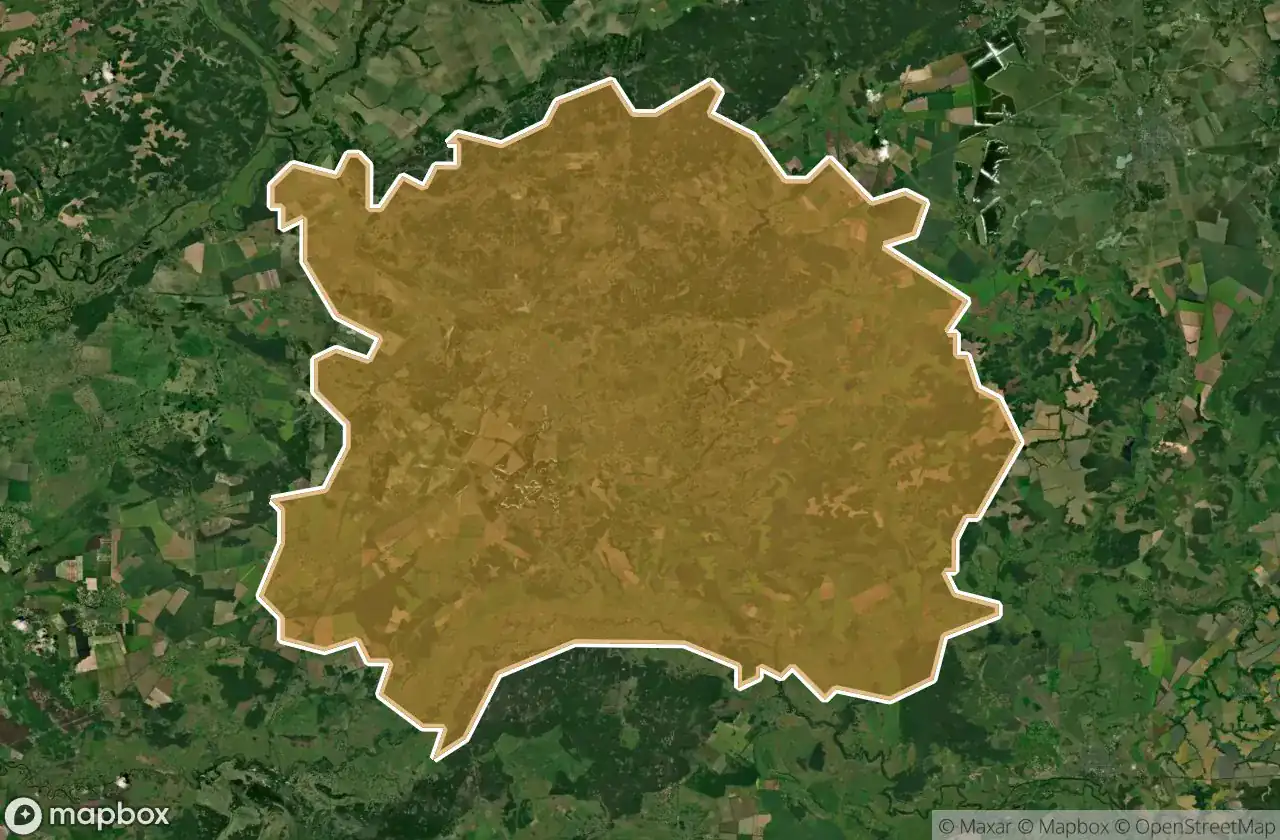
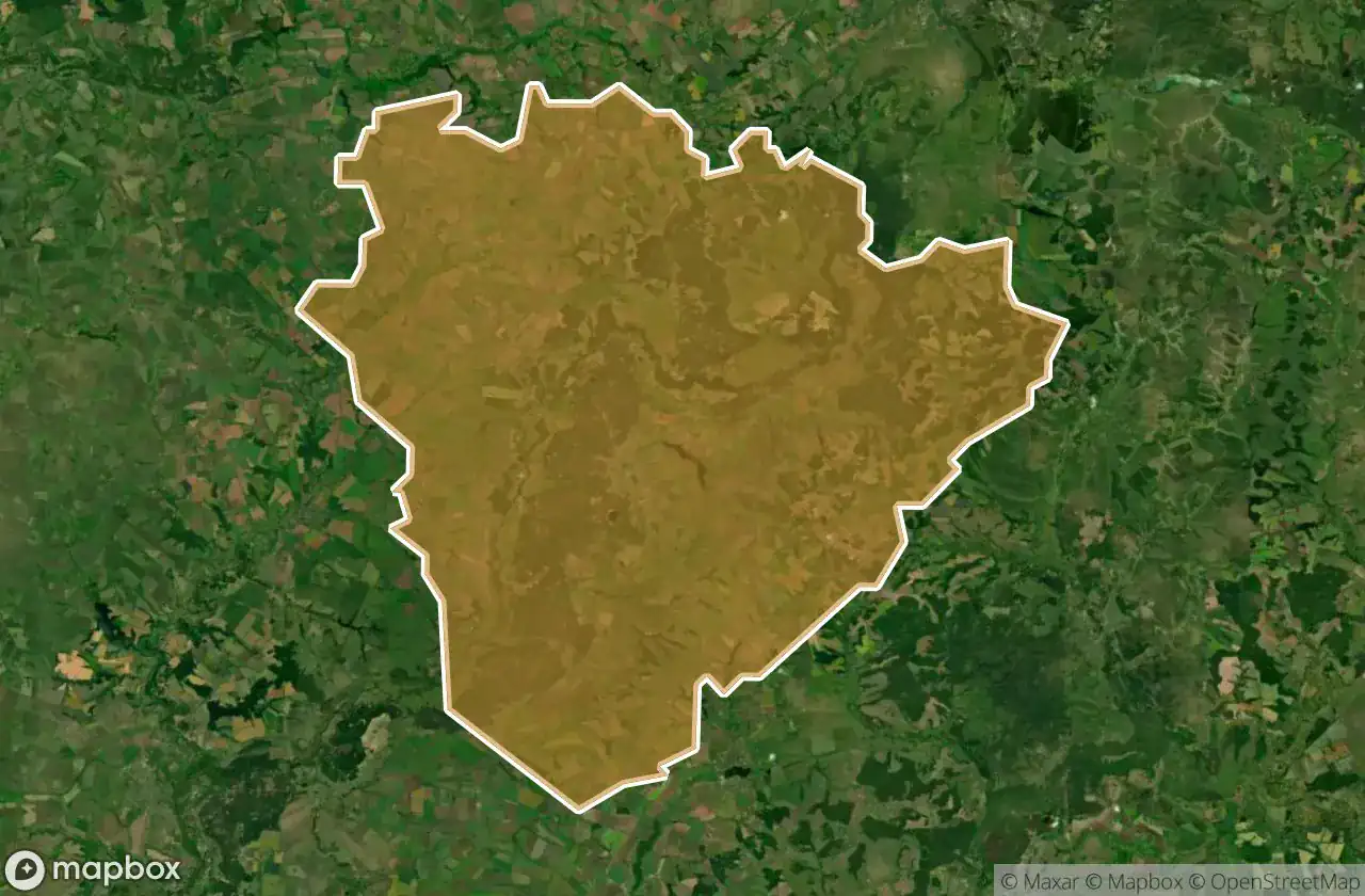
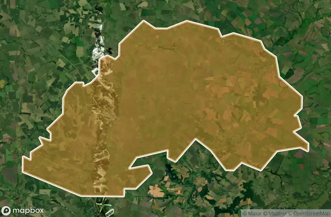
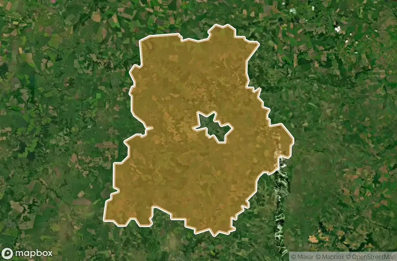
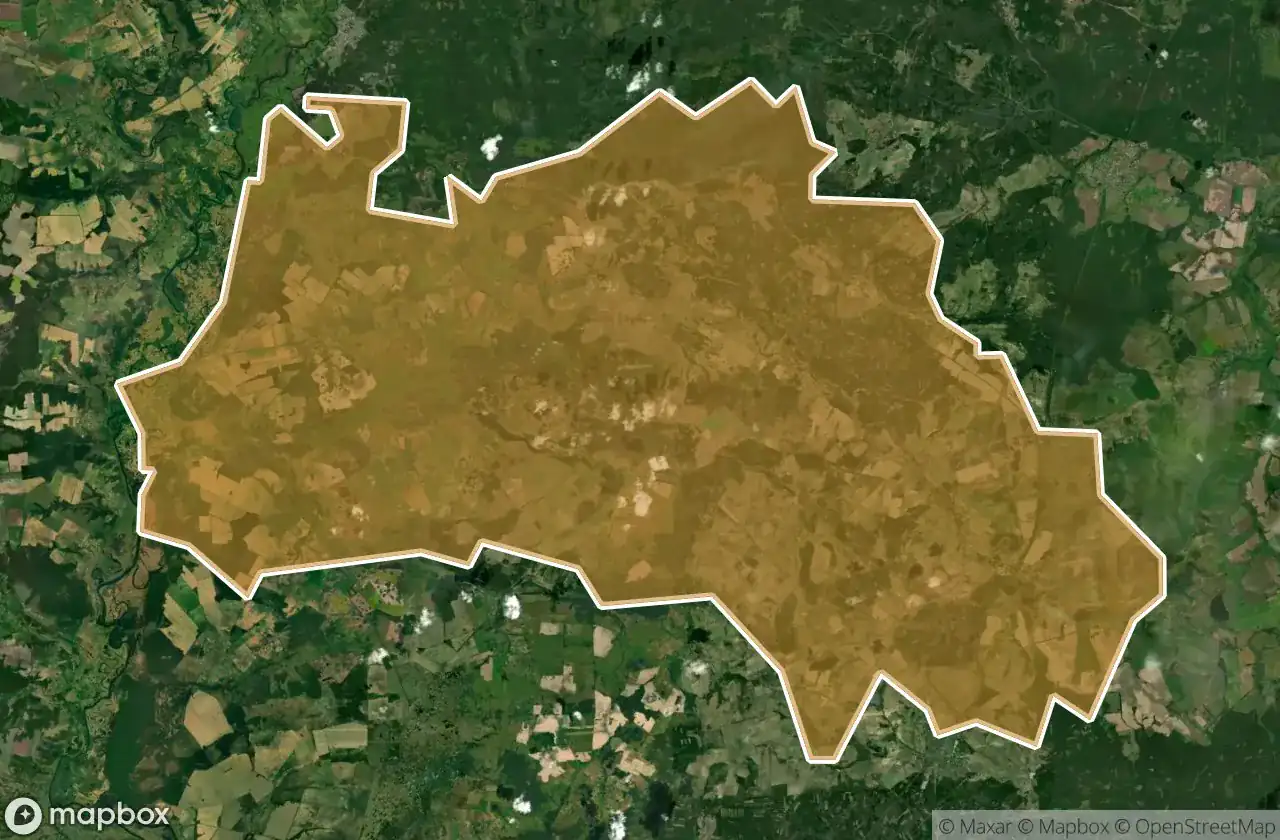
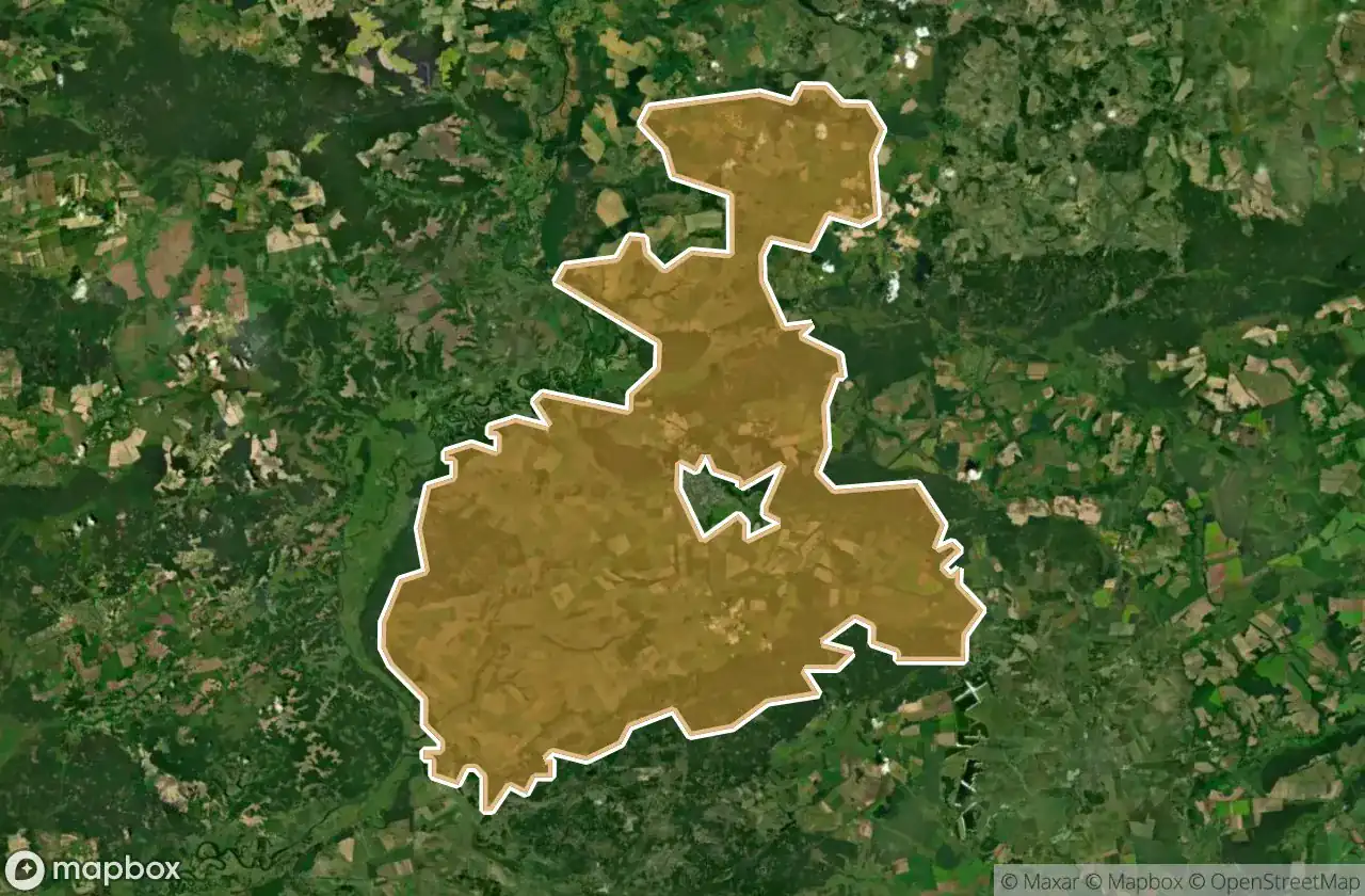
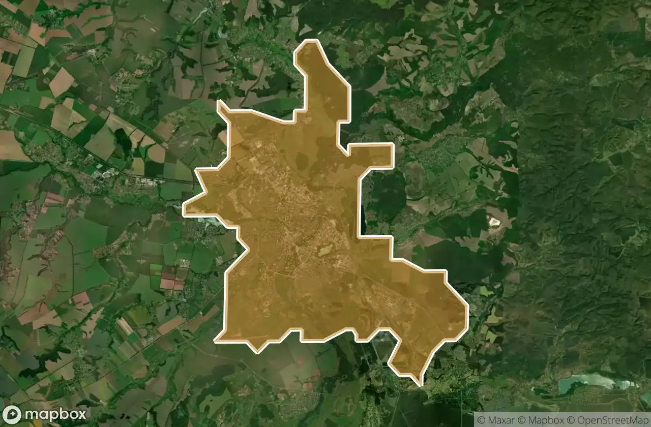
도별
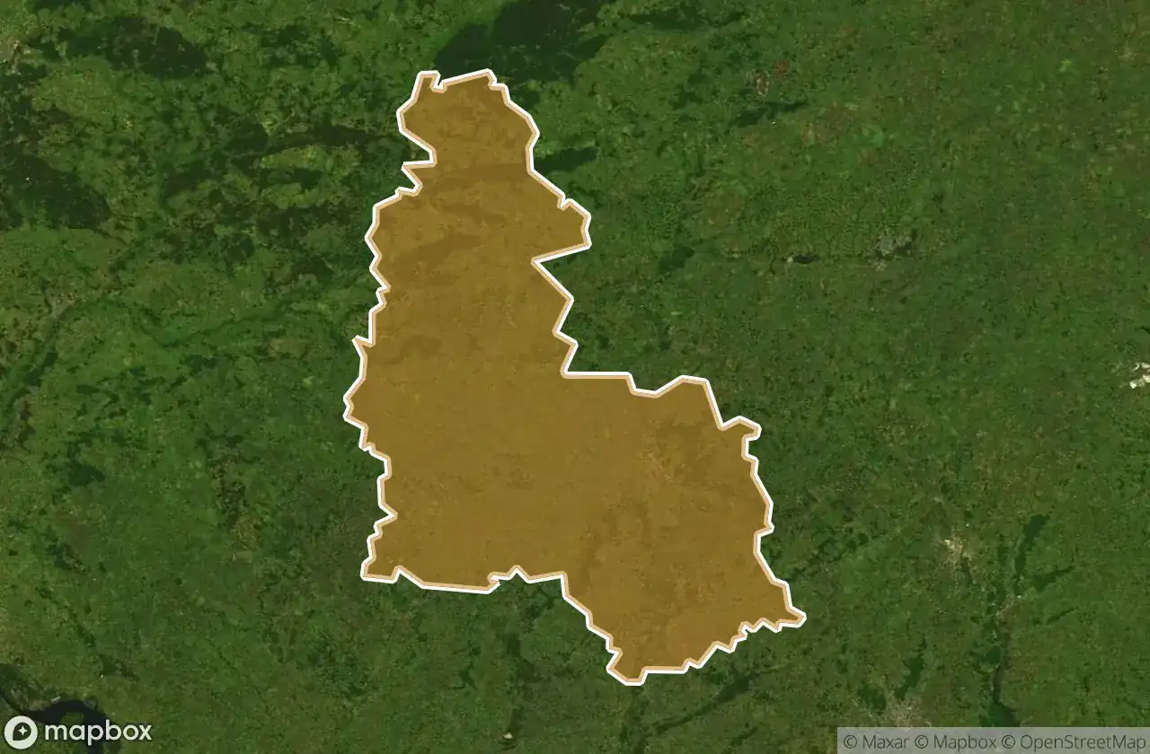
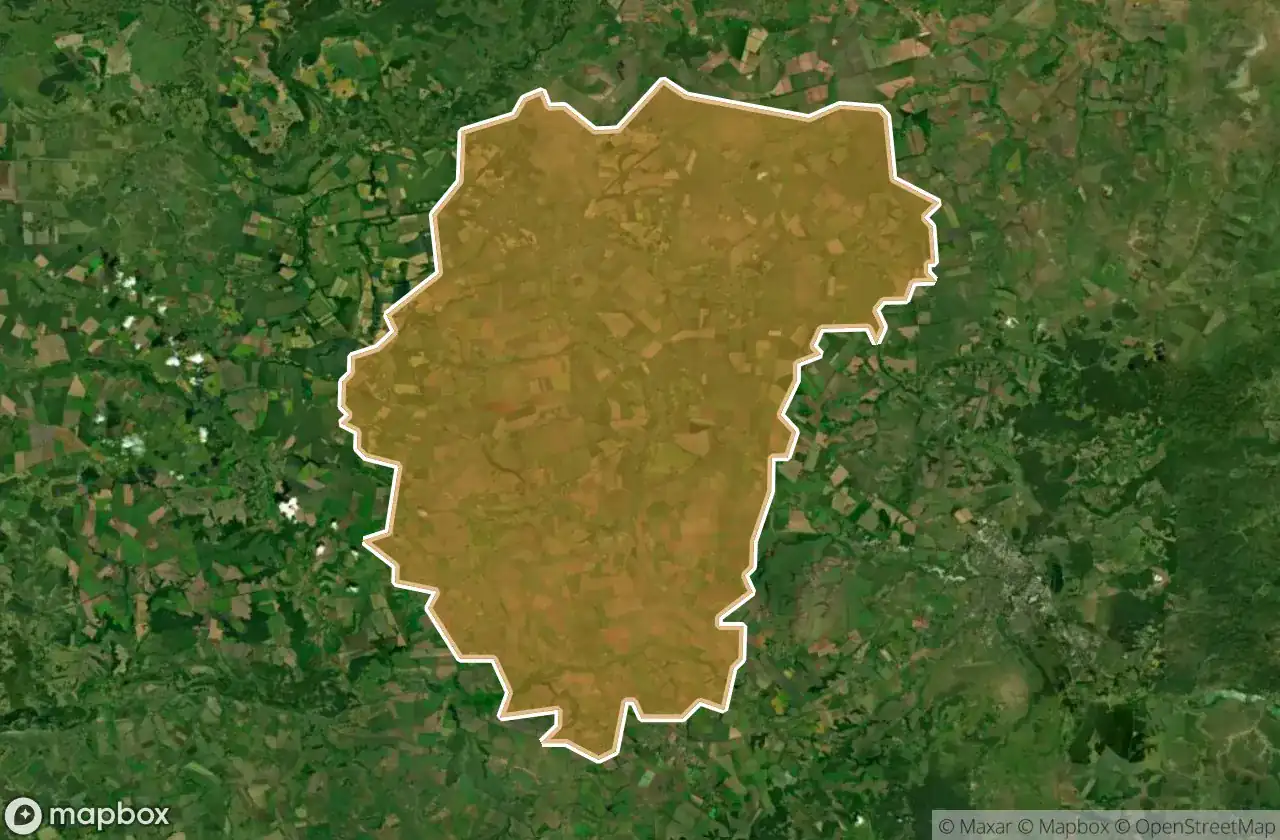
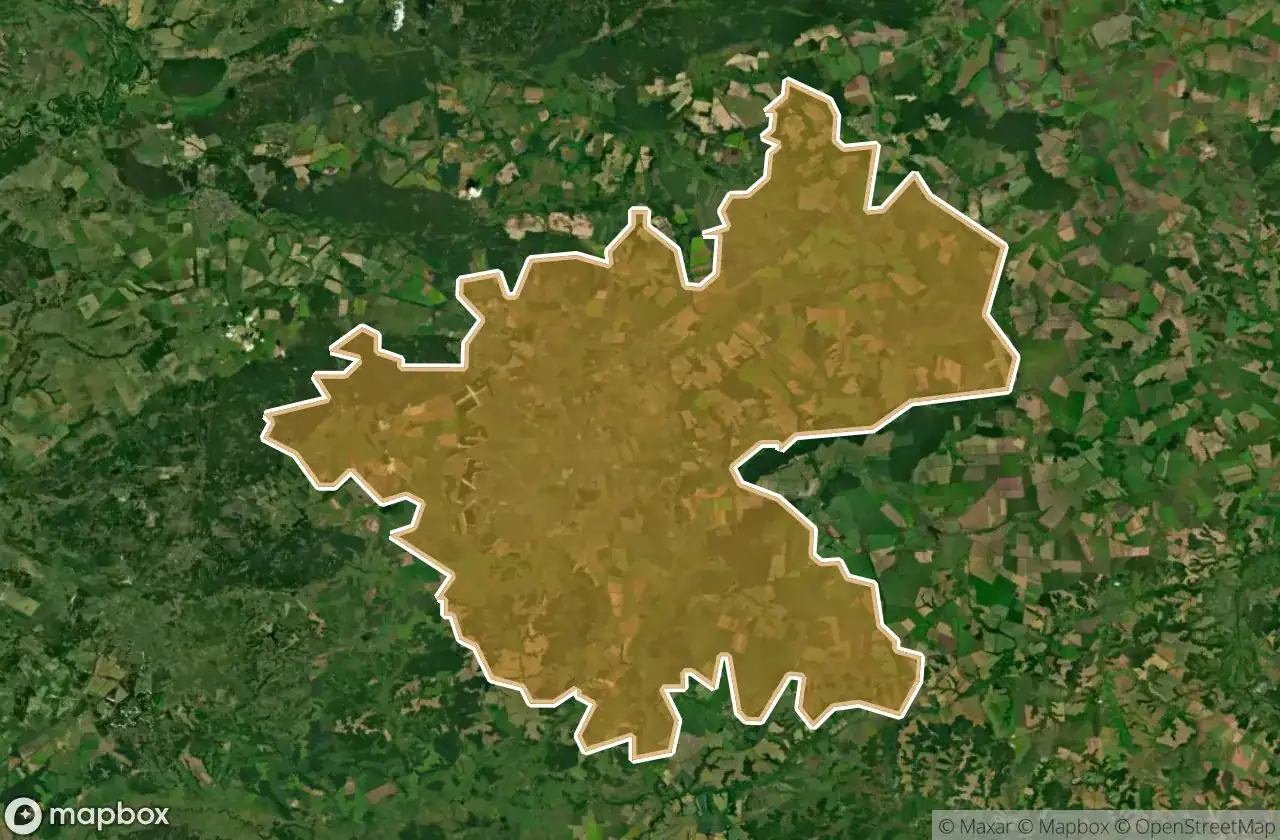
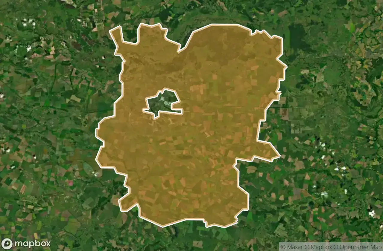
지역을 클릭하여 폐허를 확인하세요.
3
스팟
Bilopils Kyi
1
스팟
Hlukhivs Kyi
8
스팟
Konotops Kyi
3
스팟
Krasnopil S Kyi
3
스팟
Krolevets Kyi
20
스팟
Lebedyns Kyi
1
스팟
Lypovodolyns Kyi
2
스팟
Nedryhailivs Kyi
6
스팟
Okhtyrs Kyi
3
스팟
Putyvl S Kyi
1
스팟
Romens Ka
3
스팟
Romens Kyi
21
스팟
Seredyno Buds Kyi
4
스팟
Shostkins Kyi
26
스팟
Sums Ka
17
스팟
Sums Kyi
18
스팟
Trostianets Kyi