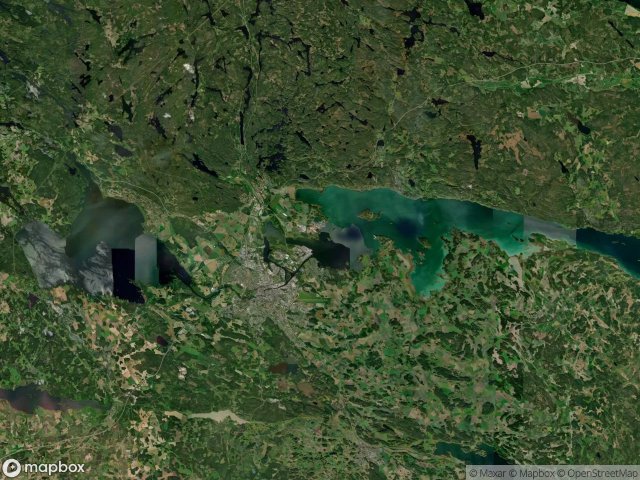
Urbex 지도 Norrkoping
20 개의 폐허: Norrkoping
20
스팟
일회성 결제 - 평생 접근
100% 안전한 결제
SSL 암호화 연결 · 은행 정보 저장 안 함
평생 업데이트
이 팩에 포함된 주제
- 다리
- 폐허
모든 폐허: Norrkoping
20 개의 검증된 GPS 좌표, Norrkoping, Ostergotland, 스웨덴.
Vous cherchez des lieux abandonnes a Norrkoping, Ostergotland, 스웨덴 ? Urbex Maps propose 20 coordonnees GPS verifiees de batiments abandonnes dans cette zone, dont 다리, 폐허.
20
spots verifies
GPS
Google Maps, Waze
2026년 6월
derniere mise a jour
Ou trouver des lieux abandonnes a Norrkoping ?
Les lieux abandonnes a Norrkoping se trouvent le mieux via la carte urbex interactive de Urbex Maps avec 20 coordonnees GPS verifiees. Les categories principales sont 다리, 폐허.
Types de lieux abandonnes a Norrkoping
- 다리
- 폐허
스팟: Norrkoping

Arkösundsvägen, Norrköping

Dvardalaleden, Åby

E 4, Norrköping

Gamla Stockholmsvägen, Norrköping

Lenbergsvik, Norrköpings kommun

Norrköping

Norrköping

Norrköpings kommun

Norrköpings kommun

Saltängsgatan, Norrköping

Signedal, Östra Husby

Sjöviksvägen, Krokek

Stenbäcken, Krokek

Storsvängen, Norrköping

The Geometry of Silence

The Imported Spatial Echo

Traces in the Grid

Traces of the Latent Grid

Unnerstad, Norrköping

Vectors of Mapped Silence