Urbex 지도 Amur
45 개의 폐허 • 11 지역
45
스팟
일회성 결제 - 평생 접근
100% 안전한 결제
SSL 암호화 연결 · 은행 정보 저장 안 함
평생 업데이트
이 팩에 포함된 주제
- 농장
모든 폐허: Amur
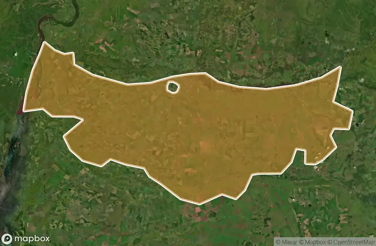
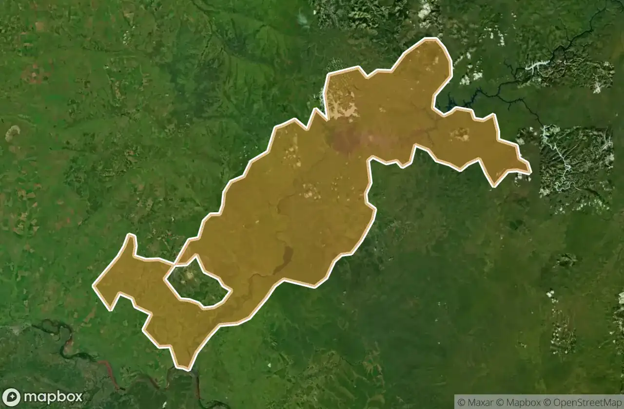
45 개의 검증된 GPS 좌표, 11개 지역. 성, 산업 폐허, 병원, 벙커, 광산.
Looking for abandoned places in Amur, 러시아? Urbex Maps offers an interactive urbex map with 45 verified GPS coordinates of abandoned buildings, including 농장. The map covers 11 areas including Blagoveshchenskiy Rayon, Tambovskiy Rayon, Shimanovskiy Rayon, Skovorodinskiy Rayon, Konstantinovskiy Rayon.
45
verified spots
11
areas covered
GPS
Google Maps, Waze
2026년 6월
last update
Where to find abandoned places in Amur?
The best way to find abandoned places in Amur is through the interactive urbex map on Urbex Maps with GPS coordinates. The region has 45 verified locations across 11 areas, including Blagoveshchenskiy Rayon, Tambovskiy Rayon, Shimanovskiy Rayon, Skovorodinskiy Rayon, Konstantinovskiy Rayon. Top categories are 농장.
Abandoned places by area in Amur
| Area | Spots | Map |
|---|---|---|
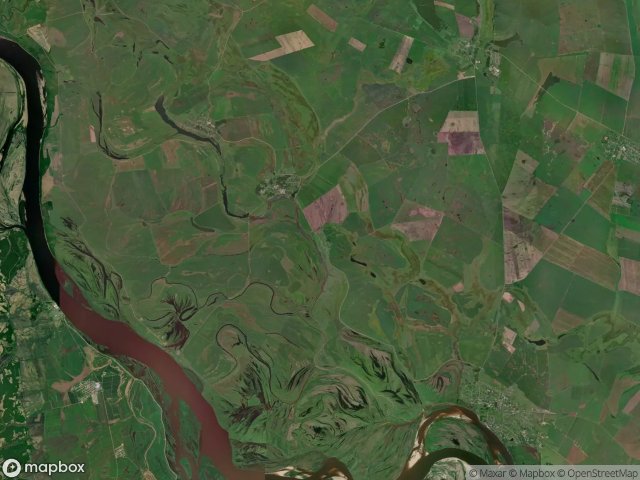
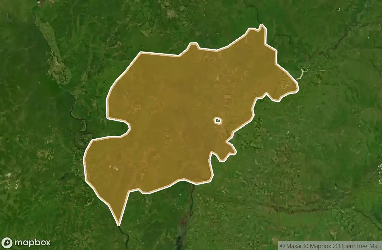
| Blagoveshchenskiy Rayon | 12 | View map → |
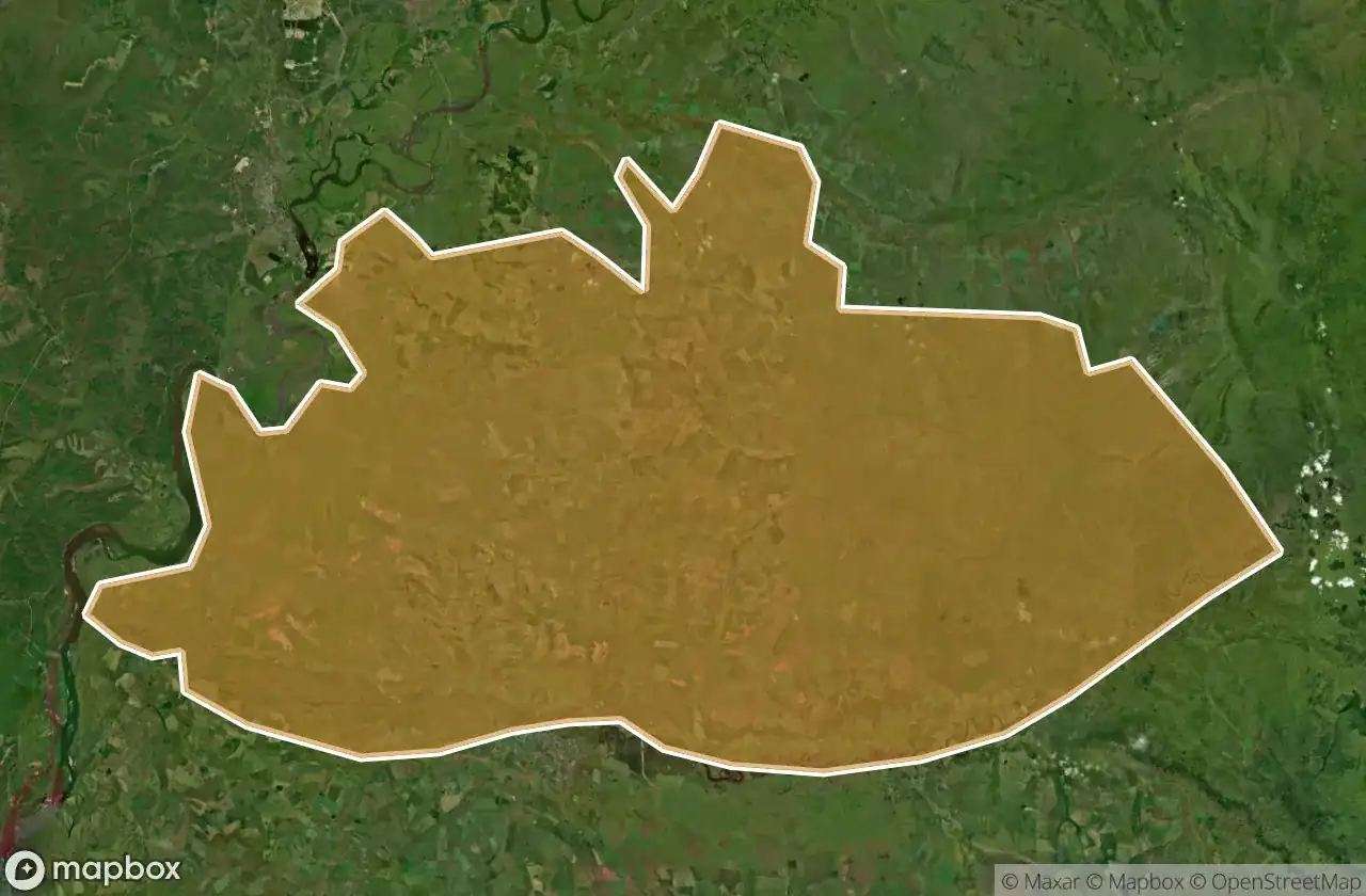
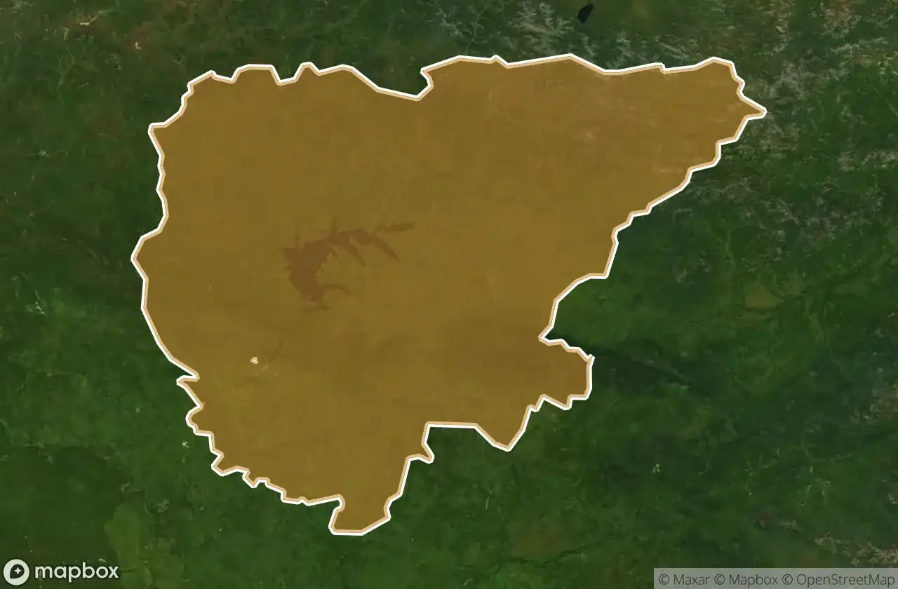
| Tambovskiy Rayon | 11 | View map → |
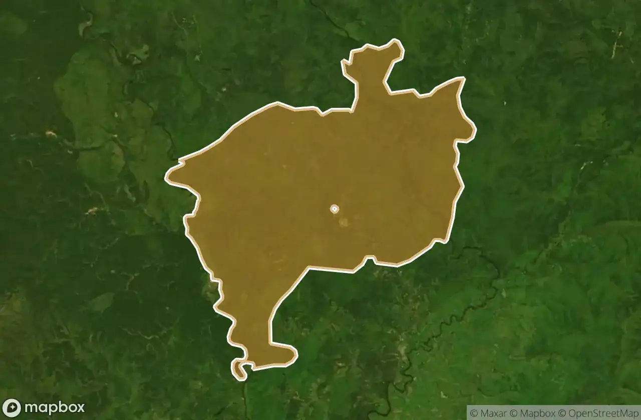
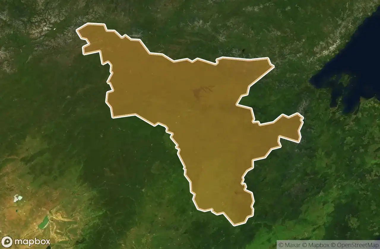
| Shimanovskiy Rayon | 6 | View map → |
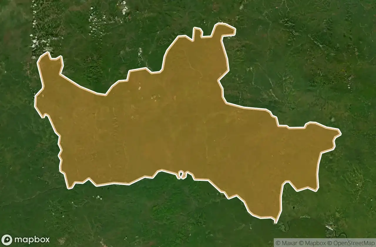
| Skovorodinskiy Rayon | 5 | View map → |
| Konstantinovskiy Rayon | 3 | View map → |
| Bureyskiy Rayon | 2 | View map → |
| Svobodnenskiy Rayon | 2 | View map → |
| Belogorskiy Rayon | 1 | View map → |
| Blagoveshchensk | 1 | View map → |
| Seryshevskiy Rayon | 1 | View map → |
Types of abandoned places in Amur
- 농장
도별
지역을 클릭하여 폐허를 확인하세요.