Urbex 지도 Beja
722 개의 폐허 • 14 지역
722
스팟
일회성 결제 - 평생 접근
100% 안전한 결제
SSL 암호화 연결 · 은행 정보 저장 안 함
평생 업데이트
이 팩에 포함된 주제
- 항구
- 버려진 집
- 다리
- 폐공장
- 광산
모든 폐허: Beja
722 개의 검증된 GPS 좌표, 14개 지역. 성, 산업 폐허, 병원, 벙커, 광산.
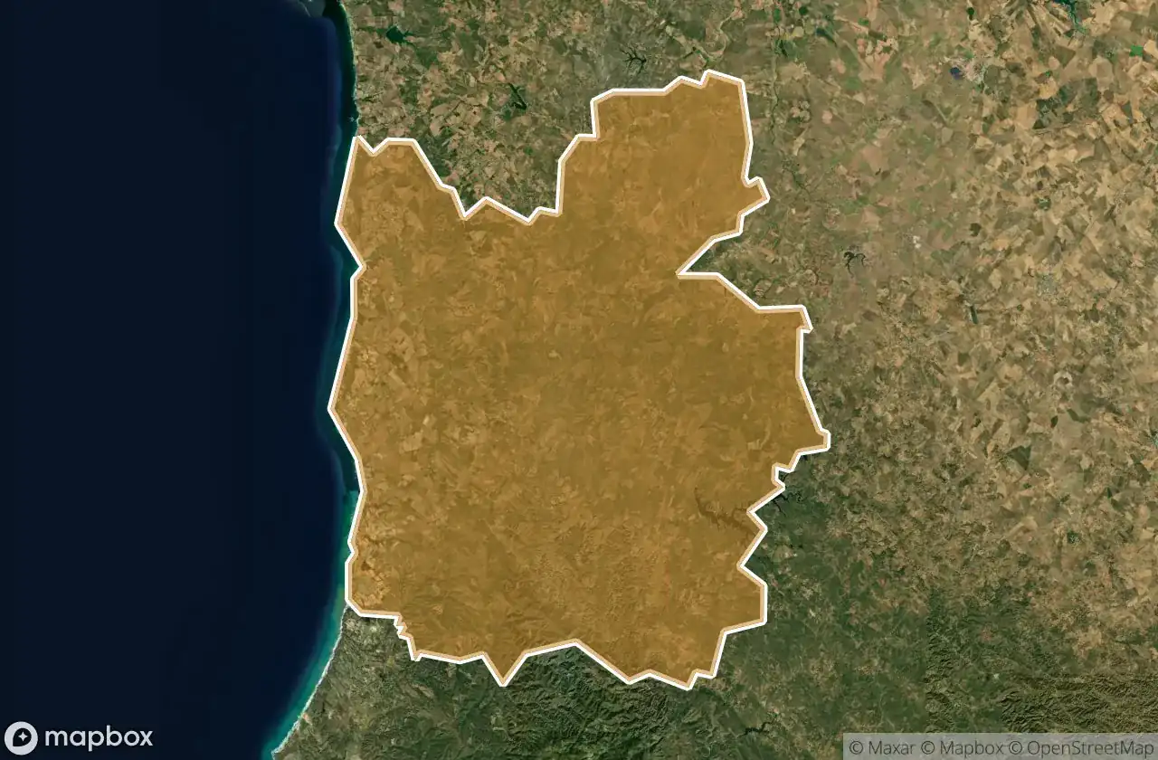
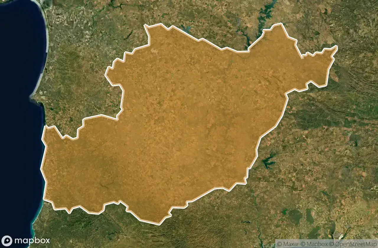
Looking for abandoned places in Beja, 포르투갈? Urbex Maps offers an interactive urbex map with 722 verified GPS coordinates of abandoned buildings, including 항구, 버려진 집, 다리, 폐공장, 광산. The map covers 14 areas including Odemira, Beja, Serpa, Mertola, Castro Verde.
722
verified spots
14
areas covered
GPS
Google Maps, Waze
2026년 6월
last update
Where to find abandoned places in Beja?
The best way to find abandoned places in Beja is through the interactive urbex map on Urbex Maps with GPS coordinates. The region has 722 verified locations across 14 areas, including Odemira, Beja, Serpa, Mertola, Castro Verde. Top categories are 항구, 버려진 집, 다리, 폐공장, 광산.
Abandoned places by area in Beja
| Area | Spots | Map |
|---|---|---|
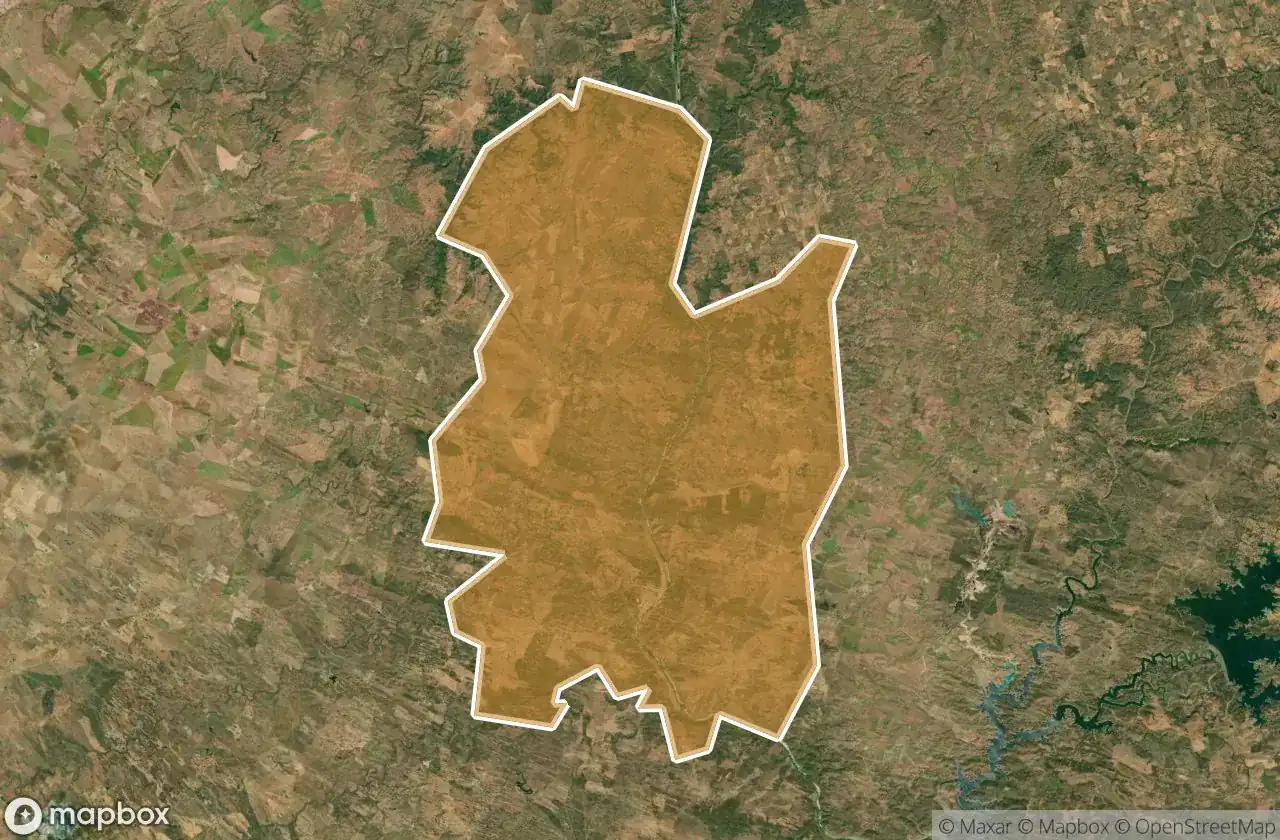
| Odemira | 131 | View map → |
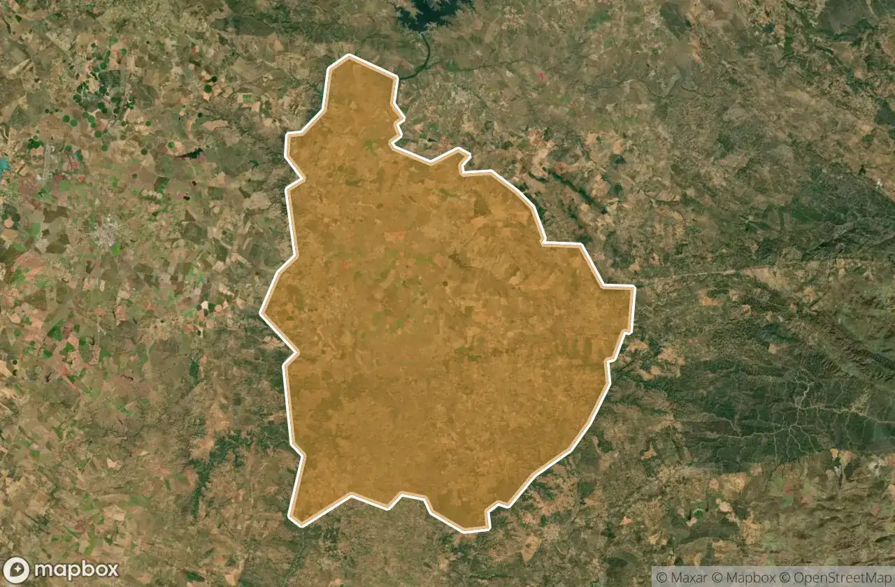
| Beja | 128 | View map → |
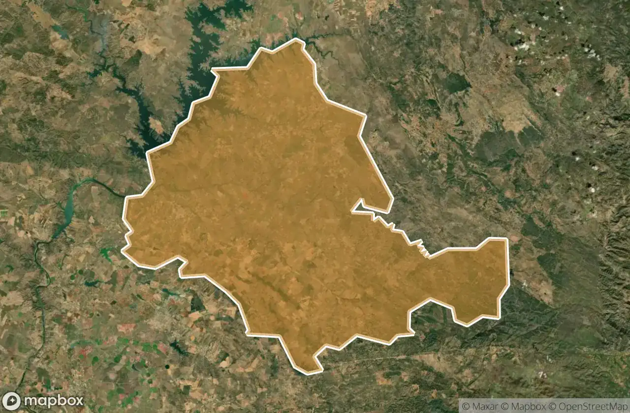
| Serpa | 75 | View map → |
| Mertola | 69 | View map → |
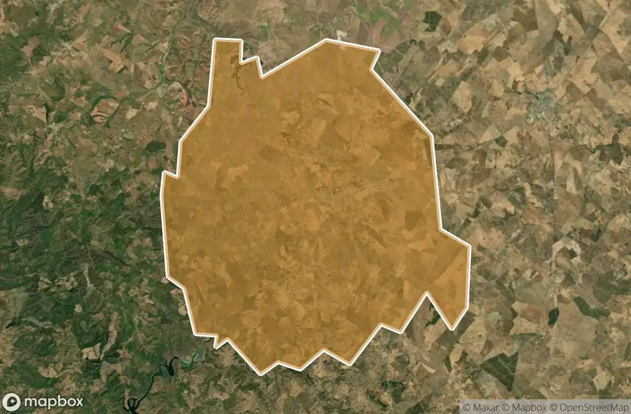
| Castro Verde | 47 | View map → |
| Almodovar | 42 | View map → |
| Ourique | 42 | View map → |
| Aljustrel | 37 | View map → |
| Ferreira Do Alentejo | 33 | View map → |
| Moura | 31 | View map → |
Types of abandoned places in Beja
- 항구
- 버려진 집
- 다리
- 폐공장
- 광산
도별
지역을 클릭하여 폐허를 확인하세요.