Urbex 지도 Arklow
16 개의 폐허: Arklow
16
스팟
일회성 결제 - 평생 접근
100% 안전한 결제
SSL 암호화 연결 · 은행 정보 저장 안 함
평생 업데이트
이 팩에 포함된 주제
- 병영
- 벙커
- 교회
- 폐공장
모든 폐허: Arklow
16 개의 검증된 GPS 좌표, Arklow, Wicklow, 아일랜드.
Looking for abandoned places in Arklow, Wicklow, 아일랜드? Urbex Maps offers 16 verified GPS coordinates of abandoned buildings in this area, including 병영, 벙커, 교회, 폐공장.
16
verified spots
GPS
Google Maps, Waze
2026년 6월
last update
Where to find abandoned places in Arklow?
The best way to find abandoned places in Arklow is through the interactive urbex map on Urbex Maps with 16 verified GPS coordinates. Top categories are 병영, 벙커, 교회, 폐공장.
Types of abandoned places in Arklow
- 병영
- 벙커
- 교회
- 폐공장
스팟: Arklow

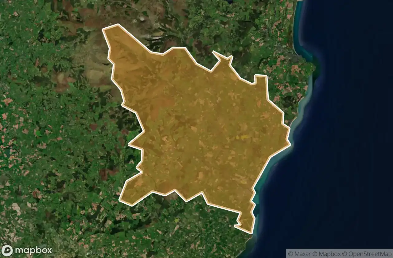
Arklow Rural ED, The Municipal District of Arklow

Avoca Wood

Coast Road

Coomie

Drumgoff Barracks

Factory Seaside

Glenart castle, Arklow

Kilpipe Church

L5163

Old Castlemacadam Graveyard

Poundbrook Lane, Rathdrum

R772

R773

The Geometry of Absence

The Imported Vector Ghost

Traces of the Silent Grid