Urbex 지도 Gorey Kilmuckridge
38 개의 폐허: Gorey Kilmuckridge
38
스팟
일회성 결제 - 평생 접근
100% 안전한 결제
SSL 암호화 연결 · 은행 정보 저장 안 함
평생 업데이트
이 팩에 포함된 주제
- 폐허
모든 폐허: Gorey Kilmuckridge
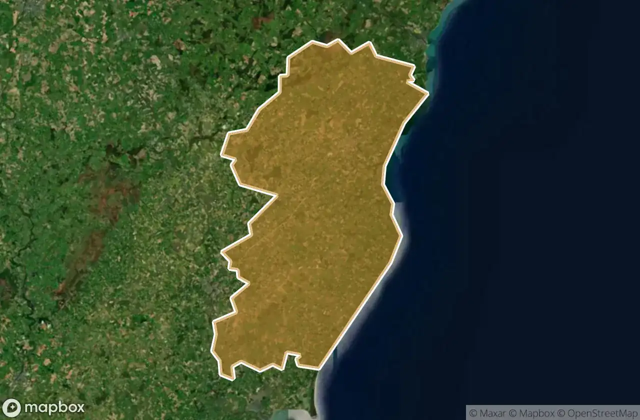
38 개의 검증된 GPS 좌표, Gorey Kilmuckridge, Wexford, 아일랜드.
Looking for abandoned places in Gorey Kilmuckridge, Wexford, 아일랜드? Urbex Maps offers 38 verified GPS coordinates of abandoned buildings in this area, including 폐허.
38
verified spots
GPS
Google Maps, Waze
2026년 6월
last update
Where to find abandoned places in Gorey Kilmuckridge?
The best way to find abandoned places in Gorey Kilmuckridge is through the interactive urbex map on Urbex Maps with 38 verified GPS coordinates. Top categories are 폐허.
Types of abandoned places in Gorey Kilmuckridge
- 폐허
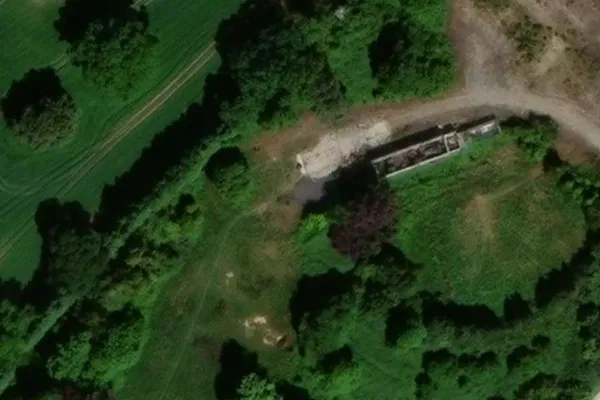
스팟: Gorey Kilmuckridge

Annagh Lane

Annagh Lane

Ballycanew Road

Ballygarrett ED, The Municipal District of Gorey — Kilmuckridge

Ballylurkin, Killincooly ED

Ballyvaloo Graveyard

Courtown ED, The Municipal District of Gorey — Kilmuckridge

Edermine ED, The Municipal District of Gorey — Kilmuckridge

Edermine ED, The Municipal District of Gorey — Kilmuckridge

Gorey Bypass

Gorey Educate Together Secondary School

Killowen Bridge

L1002

L1002

L1004

L1004

L1004

L1015

L2025

L2040

L2043

L5072

L5111

L5111

L6014

L6051

L6076

L6076

Monaseed ED, The Municipal District of Gorey — Kilmuckridge

N11, Oilgate

R741

R742

R742

R744

Sandy Cottage
St. Waleran's

Traces Within the Grid

Unyoke Market