Urbex 지도 Mullingar Kinnegad
25 개의 폐허: Mullingar Kinnegad
25
스팟
일회성 결제 - 평생 접근
100% 안전한 결제
SSL 암호화 연결 · 은행 정보 저장 안 함
평생 업데이트
이 팩에 포함된 주제
- 성
- 버려진 집
- 교회
모든 폐허: Mullingar Kinnegad
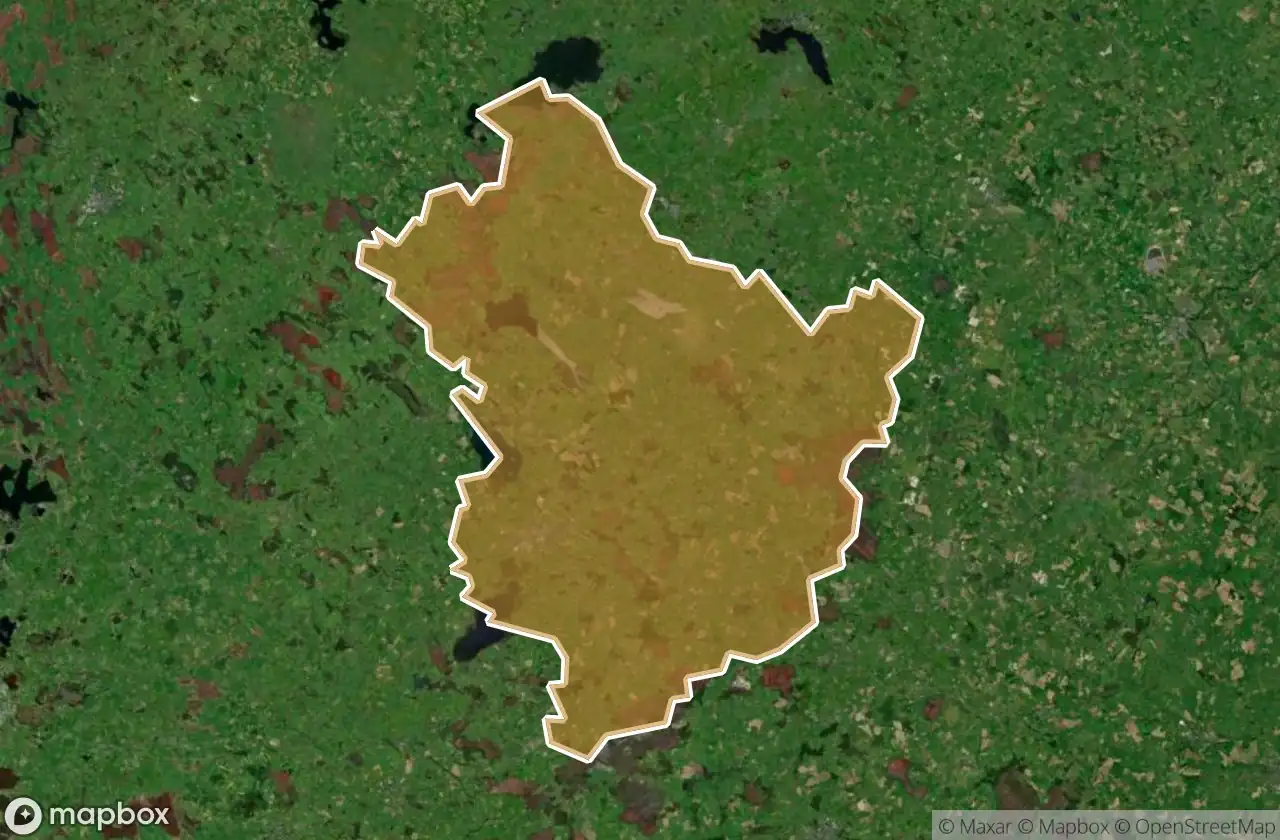
25 개의 검증된 GPS 좌표, Mullingar Kinnegad, Westmeath, 아일랜드.
Looking for abandoned places in Mullingar Kinnegad, Westmeath, 아일랜드? Urbex Maps offers 25 verified GPS coordinates of abandoned buildings in this area, including 성, 버려진 집, 교회.
25
verified spots
GPS
Google Maps, Waze
2026년 6월
last update
Where to find abandoned places in Mullingar Kinnegad?
The best way to find abandoned places in Mullingar Kinnegad is through the interactive urbex map on Urbex Maps with 25 verified GPS coordinates. Top categories are 성, 버려진 집, 교회.
Types of abandoned places in Mullingar Kinnegad
- 성
- 버려진 집
- 교회
스팟: Mullingar Kinnegad

24th Lock Keeper's House

Clonarney ED, The Municipal District of Mullingar — Kinnegad

Columbarium

Cooke Mausoleum

Coolure ED, The Municipal District of Mullingar — Kinnegad

Delvin Castle

Hilltown ED, The Municipal District of Mullingar — Kinnegad

Jealous Wall

Kilcolumb Graveyard

Killucan ED, The Municipal District of Mullingar — Kinnegad

Kinnegad

L1618

L5706

Octagonal Gazebo

R394

R394

R446, Rochfortbridge

Rochfortbridge

St Feichin's Church

Stonestown Bridge

Stonestown Bridge

Taghmon Castle

The Imported Silence

The Mysterious Face

The Transposed Geometry