Urbex 지도 Waterford City
28 개의 폐허: Waterford City
28
스팟
일회성 결제 - 평생 접근
100% 안전한 결제
SSL 암호화 연결 · 은행 정보 저장 안 함
평생 업데이트
이 팩에 포함된 주제
- 교회
- 수도원
모든 폐허: Waterford City
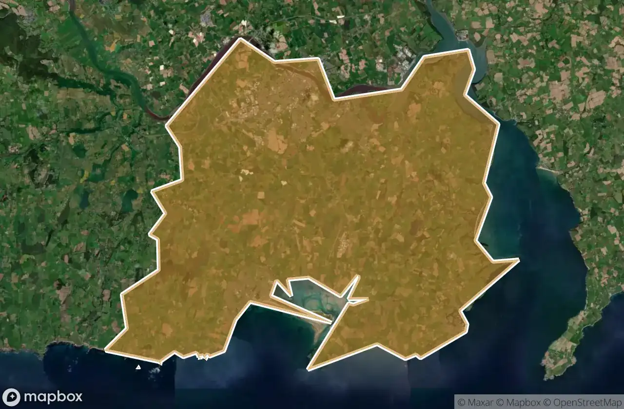
28 개의 검증된 GPS 좌표, Waterford City, Waterford, 아일랜드.
Looking for abandoned places in Waterford City, Waterford, 아일랜드? Urbex Maps offers 28 verified GPS coordinates of abandoned buildings in this area, including 교회, 수도원.
28
verified spots
GPS
Google Maps, Waze
2026년 6월
last update
Where to find abandoned places in Waterford City?
The best way to find abandoned places in Waterford City is through the interactive urbex map on Urbex Maps with 28 verified GPS coordinates. Top categories are 교회, 수도원.
Types of abandoned places in Waterford City
- 교회
- 수도원
스팟: Waterford City

Blackfriars Abbey

Drumcannon Parish Church (ruined)

Dunmore Road

Harneys Hill

Killea, Waterford City Metropolitan District

L4068

L4068

L4076

L4085

Lower Branch Road

Passage East Graveyard

Portally

Portally Cove

The Imported Void

The Sanctuary

Tra Mhor

Tra Mhor

Tra Mhor

Tra Mhor

Tra Mhor

Waterford

Waterford

Waterford

Waterford

Waterford

Waterford

Waterford

Waterford Greenway