Urbex 지도 Ratoath
47 개의 폐허: Ratoath
47
스팟
일회성 결제 - 평생 접근
100% 안전한 결제
SSL 암호화 연결 · 은행 정보 저장 안 함
평생 업데이트
이 팩에 포함된 주제
- 교회
- 성
- 버려진 집
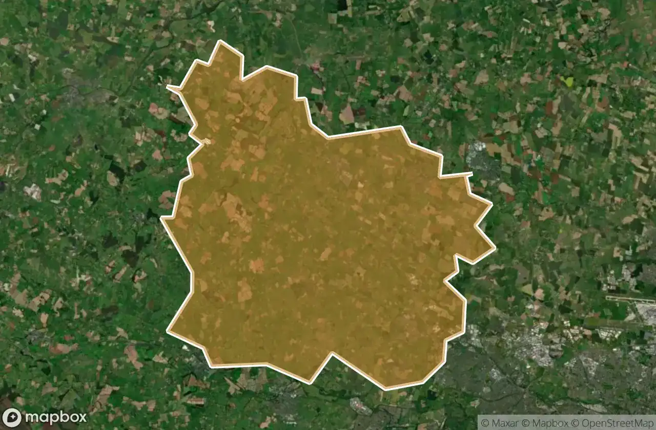
모든 폐허: Ratoath
47 개의 검증된 GPS 좌표, Ratoath, Meath, 아일랜드.
Vous cherchez des lieux abandonnes a Ratoath, Meath, 아일랜드 ? Urbex Maps propose 47 coordonnees GPS verifiees de batiments abandonnes dans cette zone, dont 교회, 성, 버려진 집.
47
spots verifies
GPS
Google Maps, Waze
2026년 6월
derniere mise a jour
Ou trouver des lieux abandonnes a Ratoath ?
Les lieux abandonnes a Ratoath se trouvent le mieux via la carte urbex interactive de Urbex Maps avec 47 coordonnees GPS verifiees. Les categories principales sont 교회, 성, 버려진 집.
Types de lieux abandonnes a Ratoath
- 교회
- 성
- 버려진 집
스팟: Ratoath

Alicebrook

Balfeaghan Church

Balfeaghan House

Church of St. Nicholas

Culmullin

Culmullin

Dunboyne

Dunboyne ED, The Municipal District of Ratoath

Dunboyne ED, The Municipal District of Ratoath

Dunshaughlin Union Workhouse, site of

Hanwood Gardens

Hartstown

Kilclone

Kilcloon

Killeen Church

Killien Road

Killien Road

Kilmore Church

Kilmore ED, The Municipal District of Ratoath

Knockmark Church

Knocknatulla

L22051

L2207

L2207

L22071

L2214

L50211

L62031

L6216

L6222

L6222

L6222

Mount View

Moyglare Castle

Mulhussey Castle

Mulhussey Church

R125

R147

Rathregan Church

Rathregan House

Rodanstown ED, The Municipal District of Ratoath

Rodanstown ED, The Municipal District of Ratoath

Rodanstown ED, The Municipal District of Ratoath

Rush House

Salestown Castle (in ruins)

St. Seachnall's Church

Windmill (in ruins)