Urbex 지도 Laytown Bettystown
82 개의 폐허: Laytown Bettystown
82
스팟
일회성 결제 - 평생 접근
100% 안전한 결제
SSL 암호화 연결 · 은행 정보 저장 안 함
평생 업데이트
이 팩에 포함된 주제
- 교회
- 버려진 집
- 성
- 수도원
- 폐허
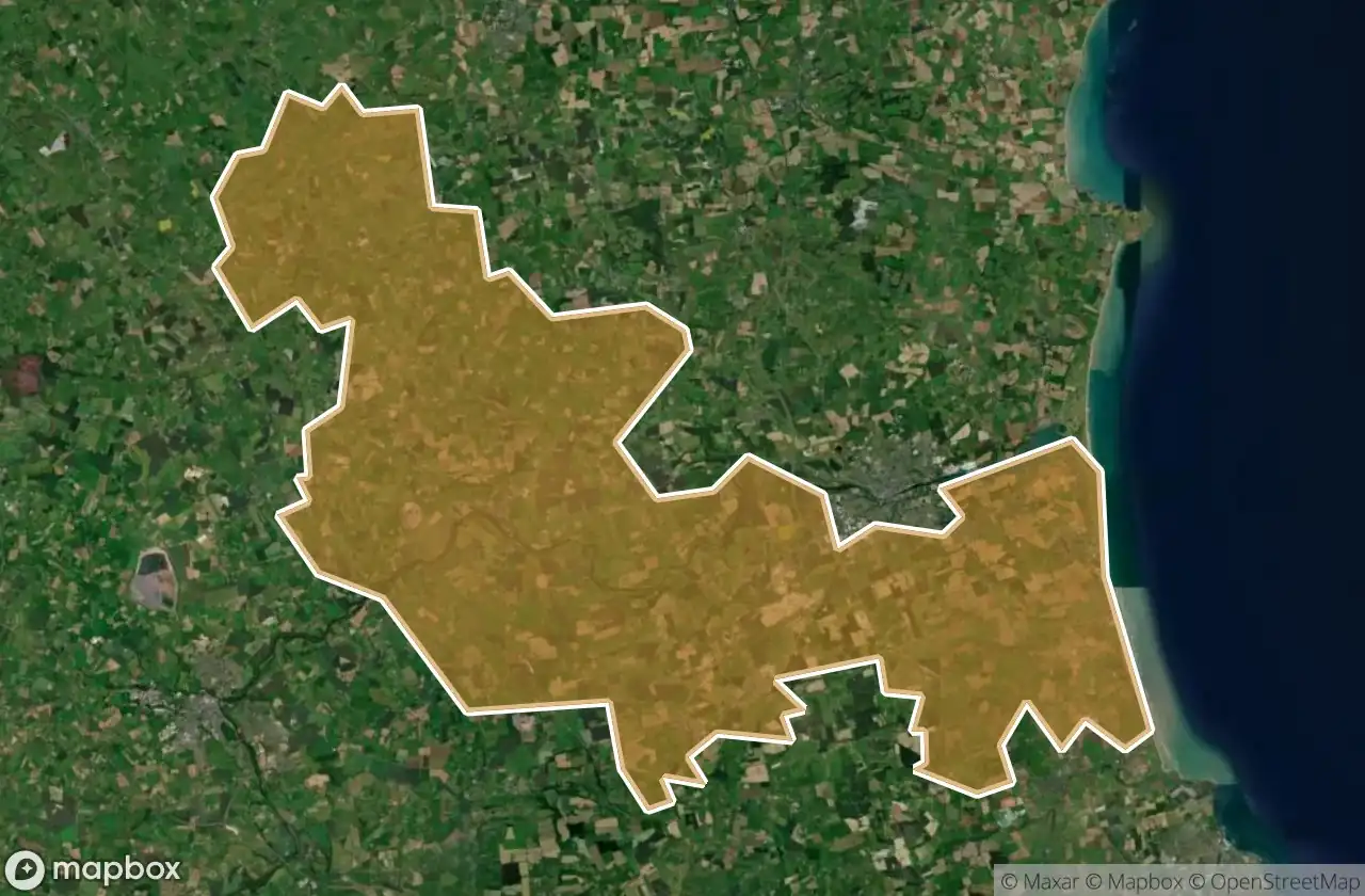
모든 폐허: Laytown Bettystown
82 개의 검증된 GPS 좌표, Laytown Bettystown, Meath, 아일랜드.
Looking for abandoned places in Laytown Bettystown, Meath, 아일랜드? Urbex Maps offers 82 verified GPS coordinates of abandoned buildings in this area, including 교회, 버려진 집, 성, 수도원, 폐허.
82
verified spots
GPS
Google Maps, Waze
2026년 6월
last update
Where to find abandoned places in Laytown Bettystown?
The best way to find abandoned places in Laytown Bettystown is through the interactive urbex map on Urbex Maps with 82 verified GPS coordinates. Top categories are 교회, 버려진 집, 성, 수도원, 폐허.
Types of abandoned places in Laytown Bettystown
- 교회
- 버려진 집
- 성
- 수도원
- 폐허
스팟: Laytown Bettystown

Abbey Road

Beaubec

Corballis

Donacarney Castle (ruin)

Drogheda Grammar School, Drogheda

Glenmore House

Gormanston

Gormanston

Kells Road

Killary Church

Killary ED, The Municipal District of Laytown — Bettystown

Killowen House B&B, Drogheda

L1013

L1601

L16015

L1602

L1610

L1612

L16161, Julianstown

L16163

L5056

L5600

L56002

L56002

L56005

L5601

L5601

L5602

L5611

L5614

Lagavooren

N2

Newtown

Old Windmill

Pilltown House

R150

R150

Saint Mary's ED, The Municipal District of Laytown — Bettystown

Shadows of the Grid

Slane

Slane

Slane

Slane

Slane

Slane

Slane

Slane

Slane

Slane

Slane

Slane

Slane

Slane

Slane

Slane

Slane

Slane

Slane Church

St Mary's Abbey

St Mary's Church
+ 22개 더