Urbex 지도 Dundalk
43 개의 폐허: Dundalk
43
스팟
일회성 결제 - 평생 접근
100% 안전한 결제
SSL 암호화 연결 · 은행 정보 저장 안 함
평생 업데이트
이 팩에 포함된 주제
- 성
- 교회
- 버려진 집
모든 폐허: Dundalk
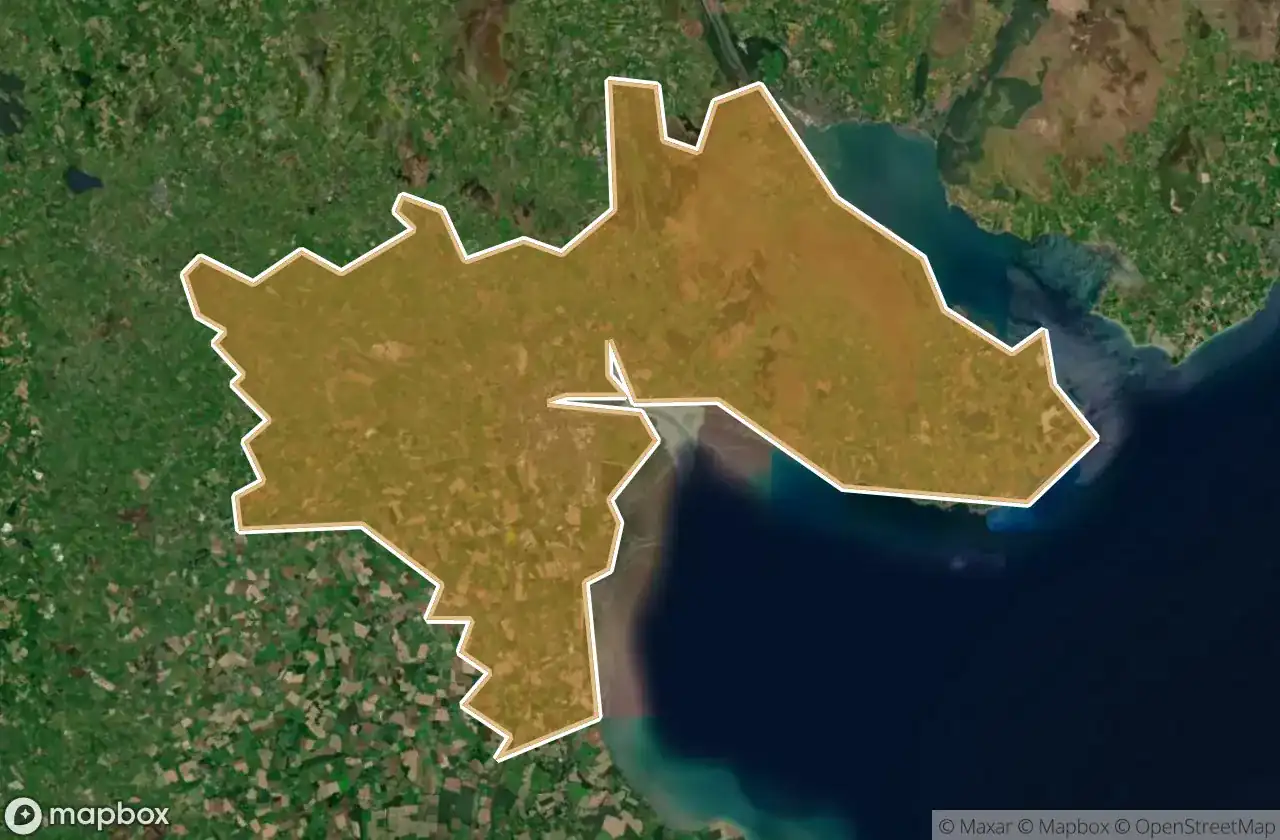
43 개의 검증된 GPS 좌표, Dundalk, Louth, 아일랜드.
Looking for abandoned places in Dundalk, Louth, 아일랜드? Urbex Maps offers 43 verified GPS coordinates of abandoned buildings in this area, including 성, 교회, 버려진 집.
43
verified spots
GPS
Google Maps, Waze
2026년 6월
last update
Where to find abandoned places in Dundalk?
The best way to find abandoned places in Dundalk is through the interactive urbex map on Urbex Maps with 43 verified GPS coordinates. Top categories are 성, 교회, 버려진 집.
Types of abandoned places in Dundalk
- 성
- 교회
- 버려진 집
스팟: Dundalk

Ballug Castle

Belfield, Dundalk

Bring Centre, Dundalk

Church (ruins)

Commons Road, Dromiskin

Commons Road, Dromiskin

Dundalk

Dunmahon Castle

Greenore Road

Haggardstown ED, The Municipal District of Dundalk

Hoey's Lane

Jackie's Car Park, Dundalk

Jenkinstown ED, The Municipal District of Dundalk

Kilwirra Church

L31364

L3167

L3167

L3168

L3168

L51371

L51373--

L7066

L7067

L7073

L7074

L7074

L7074

L7074

L7076

L7078

L7135

L7162

Priorland Gardens, Dundalk

R173

R173

R178

Stephenstown House

Stephenstown House

The Imported Void

The Plotted Ghost Grid

Tullagee Bridge

White House

Willville