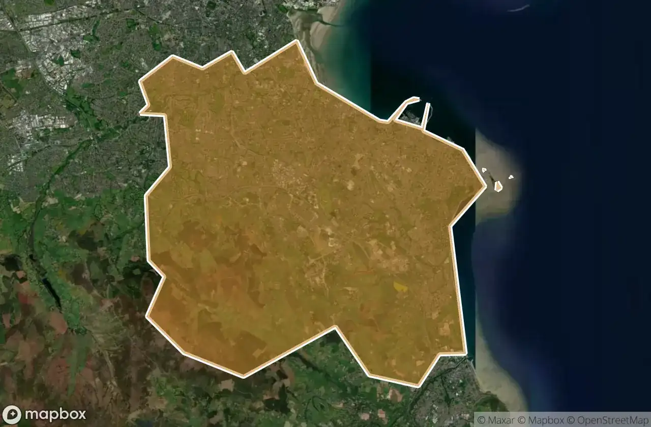
Urbex 지도 Dun Laoghaire Rathdown
38 개의 폐허: Dun Laoghaire Rathdown
38
스팟
일회성 결제 - 평생 접근
100% 안전한 결제
SSL 암호화 연결 · 은행 정보 저장 안 함
평생 업데이트
이 팩에 포함된 주제
- 교회
- 성
- 폐허
- 포대
- 벙커
- 버려진 집
모든 폐허: Dun Laoghaire Rathdown
38 개의 검증된 GPS 좌표, Dun Laoghaire Rathdown, Dublin, 아일랜드.
Looking for abandoned places in Dun Laoghaire Rathdown, Dublin, 아일랜드? Urbex Maps offers 38 verified GPS coordinates of abandoned buildings in this area, including 교회, 성, 폐허, 포대, 벙커, 버려진 집.
38
verified spots
GPS
Google Maps, Waze
2026년 6월
last update
Where to find abandoned places in Dun Laoghaire Rathdown?
The best way to find abandoned places in Dun Laoghaire Rathdown is through the interactive urbex map on Urbex Maps with 38 verified GPS coordinates. Top categories are 교회, 성, 폐허, 포대, 벙커, 버려진 집.
Types of abandoned places in Dun Laoghaire Rathdown
- 교회
- 성
- 폐허
- 포대
- 벙커
- 버려진 집
스팟: Dun Laoghaire Rathdown

Archbold's Castle

Barnstormer, Dún Laoghaire-Rathdown

Barrington Tower, Cornelscourt

Blackglen Road, Sandyford

Cabinteely

Dalkey

Dalkey Island Battery

Dalkey Island Martello Tower

Dublin Mountains Way, Dún Laoghaire-Rathdown

Dun Laoghaire

Dundrum Castle

Ghosts of Geometric Silence

Grange Church (ruins)

Green Route Southbound, Dún Laoghaire-Rathdown

Kilgobbin Church

Killiney Church (ruin)

Lehaunstown, Dún Laoghaire-Rathdown

Loughlinstown

Monkstown Castle

Mount Merrion

Puck's Castle

Rathmichael Church Ruin

Saint Begnet's Church

Sandyford

Sandyford

Shanganagh Avenue, Shankill

Shankill Castle

South Eastern Motorway, Ballyogan

Suburban house

The Geometry of Echoes

The Ghost Geometry

The Imported Silence

The Latent Spatial Echo

The Lawns, Dún Laoghaire-Rathdown

Wicklow Way, Dún Laoghaire-Rathdown

Wicklow Way, Dún Laoghaire-Rathdown

Wicklow Way, Dún Laoghaire-Rathdown

Wynnstay House, Dundrum