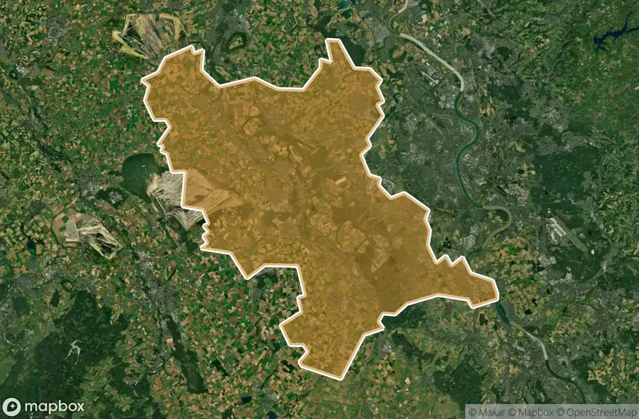
Urbex 지도 Rhein Erft Kreis
50 개의 폐허: Rhein Erft Kreis
50
스팟
일회성 결제 - 평생 접근
100% 안전한 결제
SSL 암호화 연결 · 은행 정보 저장 안 함
평생 업데이트
이 팩에 포함된 주제
- 벙커
- 군사
- 폐허
- 성
- 폐공장
- 방앗간
모든 폐허: Rhein Erft Kreis
50 개의 검증된 GPS 좌표, Rhein Erft Kreis, Nordrhein Westfalen, 독일.
Looking for abandoned places in Rhein Erft Kreis, Nordrhein Westfalen, 독일? Urbex Maps offers 50 verified GPS coordinates of abandoned buildings in this area, including 벙커, 군사, 폐허, 성, 폐공장, 방앗간.
50
verified spots
GPS
Google Maps, Waze
2026년 6월
last update
Where to find abandoned places in Rhein Erft Kreis?
The best way to find abandoned places in Rhein Erft Kreis is through the interactive urbex map on Urbex Maps with 50 verified GPS coordinates. Top categories are 벙커, 군사, 폐허, 성, 폐공장, 방앗간.
Types of abandoned places in Rhein Erft Kreis
- 벙커
- 군사
- 폐허
- 성
- 폐공장
- 방앗간
스팟: Rhein Erft Kreis

B 477, Paffendorf

Blumachergasse, Pulheim

Bonnstraße, Brauweiler

Brühl-Süd, Geildorf

Dead Spot - Norton Factory

Dead Spot - Nato Base

Echoes Across the Fallow

Echoes in the Thicket

Echoes of Untended Earth

Echoes of the Rails

Echoes of the Scars

Echoes of the Silent Mill

Ehrenfriedstraße, Brauweiler

Erftstraße, Sindorf

Gemarkung Wesseling, Wesseling

Gemarkung Wesseling, Wesseling

Gemarkung Wesseling, Wesseling

Harry-Kloepfer-Straße, Köln

Hemmersbach, Götzenkirchen

Horrem Hf, Horrem

Ingendorf

Kierberger Straße, Brühl

L 257, Buir

Max-Planck-Straße, Liblar

Mirage of the Living

Neusser Straße, Bergheim

Nußbaumallee, Türnich

Otzenrath Ghost Town

Plotted into the Silence

Pulheim

Rommerskirchen

Shadows Between the Fields

Silence in the Furrows

Sinnersdorf

Sinnersdorf

Stillness by the Shore

Storm Drain

The Geometry of Silence

The Imported Silence

The Imported Silent Echo

The Plotted Silence

The Plotted Silence

The Unwritten Grid

Traces in the Grid

Traces of Frozen Geometry

Traces of Mapped Silence

Traces of the Input

Whispers in the Fallow

Whispers of the Fallow

ehem. Badeanstalt, Kendenich