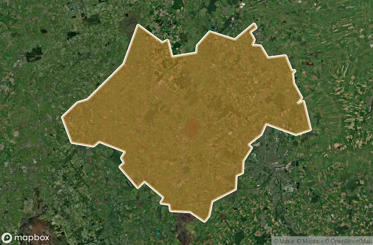
Urbex 지도 Ammerland
19 개의 폐허: Ammerland
19
스팟
일회성 결제 - 평생 접근
100% 안전한 결제
SSL 암호화 연결 · 은행 정보 저장 안 함
평생 업데이트
이 팩에 포함된 주제
- 벙커
- 군사
모든 폐허: Ammerland
19 개의 검증된 GPS 좌표, Ammerland, Niedersachsen, 독일.
Looking for abandoned places in Ammerland, Niedersachsen, 독일? Urbex Maps offers 19 verified GPS coordinates of abandoned buildings in this area, including 벙커, 군사.
19
verified spots
GPS
Google Maps, Waze
2026년 6월
last update
Where to find abandoned places in Ammerland?
The best way to find abandoned places in Ammerland is through the interactive urbex map on Urbex Maps with 19 verified GPS coordinates. Top categories are 벙커, 군사.
Types of abandoned places in Ammerland
- 벙커
- 군사
스팟: Ammerland

Braker Chaussee, Loyermoor

Deyekamp, Edewecht

Dänikhorsterfeld, Dänikhorst

Dänikhorsterfeld, Dänikhorst

Forsthof Diana, Jeddeloh II

Halsbeker Straße, Tarbarg

Heubült, Rastede

Hösjekamp, Bad Zwischenahn

Ocholter Straße, Apen

Oldenburger Straße, Kayhausen

Rosenkrug, Mansie

Südgeorgsfehner Straße, Bokelermoor

Wapeldorf, Rastede

Wehnerfeld, Metjendorf

Westersteder Straße, Bockhorn

Willbroksmoor, Bad Zwischenahn

Willbroksmoor, Bad Zwischenahn

Willbroksmoor, Bad Zwischenahn

Zwischenahner Kühl- und Lagerhaus, Kayhauserfeld