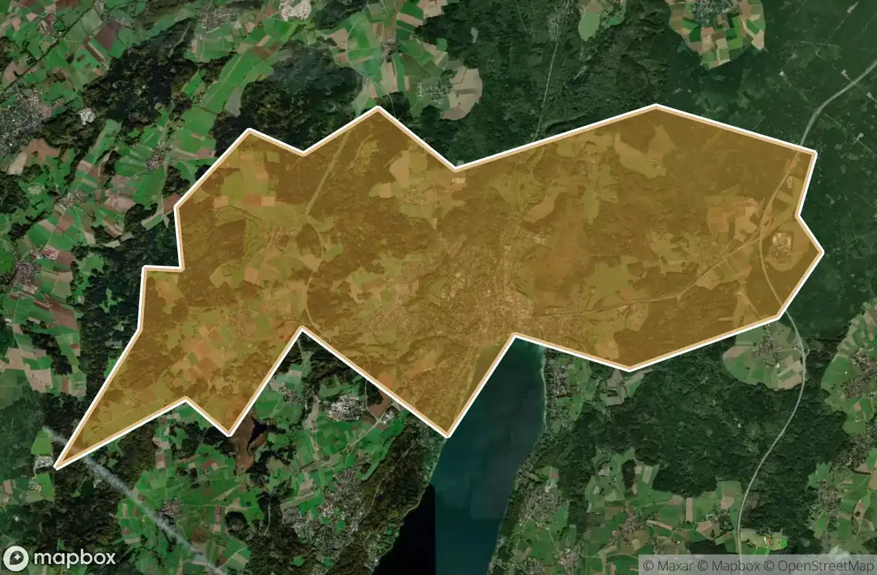
Urbex 지도 Starnberg
19 개의 폐허: Starnberg
19
스팟
일회성 결제 - 평생 접근
100% 안전한 결제
SSL 암호화 연결 · 은행 정보 저장 안 함
평생 업데이트
이 팩에 포함된 주제
- 폐허
모든 폐허: Starnberg
19 개의 검증된 GPS 좌표, Starnberg, Bayern, 독일.
Looking for abandoned places in Starnberg, Bayern, 독일? Urbex Maps offers 19 verified GPS coordinates of abandoned buildings in this area, including 폐허.
19
verified spots
GPS
Google Maps, Waze
2026년 6월
last update
Where to find abandoned places in Starnberg?
The best way to find abandoned places in Starnberg is through the interactive urbex map on Urbex Maps with 19 verified GPS coordinates. Top categories are 폐허.
Types of abandoned places in Starnberg
- 폐허
스팟: Starnberg

Am Bahnhof, Argelsried

Automobile Schütt & Schaupp GmbH

Bahnhofplatz, Starnberg

Inning am Ammersee

Klein-Jerusalem, Königswiesen

Klein-Jerusalem, Königswiesen

Landsberger Straße, Argelsried

Mystical energies / Mystische Energien

Possenhofener Straße, Starnberg

Schlossmauer

Shadows in the Vector

Shadows of the Mapped Ruin

Starnberg

The Geometry of Silence

The Ghost of the Grid

The Vector’s Silent Echo

The forest lodge / Waldgasthof

Traces Of A Silent Node

Tutzing