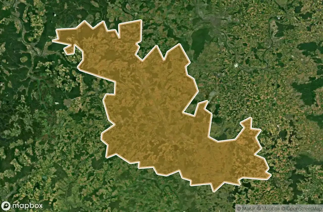
Urbex 지도 Main Tauber Kreis
28 개의 폐허: Main Tauber Kreis
28
스팟
일회성 결제 - 평생 접근
100% 안전한 결제
SSL 암호화 연결 · 은행 정보 저장 안 함
평생 업데이트
이 팩에 포함된 주제
- 폐허
- 병원
- 버려진 집
모든 폐허: Main Tauber Kreis
28 개의 검증된 GPS 좌표, Main Tauber Kreis, Baden Wurttemberg, 독일.
Looking for abandoned places in Main Tauber Kreis, Baden Wurttemberg, 독일? Urbex Maps offers 28 verified GPS coordinates of abandoned buildings in this area, including 폐허, 병원, 버려진 집.
28
verified spots
GPS
Google Maps, Waze
2026년 6월
last update
Where to find abandoned places in Main Tauber Kreis?
The best way to find abandoned places in Main Tauber Kreis is through the interactive urbex map on Urbex Maps with 28 verified GPS coordinates. Top categories are 폐허, 병원, 버려진 집.
Types of abandoned places in Main Tauber Kreis
- 폐허
- 병원
- 버려진 집
스팟: Main Tauber Kreis

Abandoned house in wertheim

Archshofen

Bad Mergentheim

Brunnen am alten Forsthaus

Burgfestspiele, Freudenberg

Bussardweg, Königshofen

Eisenbahnstraße, Königshofen

Eulenbergweg, Waldmannshofen

Fischgäßchen, Tauberbischofsheim-Stadt

Ho-Chi-Minh-Pfad, Külsheim

Hofstetten, Messelhausen

Hugo-Kuhn-Weg, Wertheim

Imported Whispers of Decay

K 2832, Königshofen

Kloster Gerlachsheim, Gerlachsheim

Kurviertel, Bad Mergentheim

Relikte der Maisenbachmühle, Uissigheim

Schloßgasse, Hofgarten

Schloßgasse, Hofgarten

Shadows Within the Metadata

Tauberbischofsheim

The Geometry of Silence

The Imported Ghost Coordinate

The Imported Silent Geometry

Vector of the Forgotten

Vectors of a Silent Origin

Vertices of Forgotten Space

Vertices of a Ghost