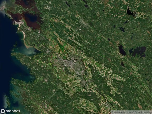
Urbex 지도 Satakunta
59 개의 폐허: Satakunta
59
스팟
일회성 결제 - 평생 접근
100% 안전한 결제
SSL 암호화 연결 · 은행 정보 저장 안 함
평생 업데이트
이 팩에 포함된 주제
- 폐공장
모든 폐허: Satakunta
59 개의 검증된 GPS 좌표, Satakunta, Western Finland, 핀란드.
Looking for abandoned places in Satakunta, Western Finland, 핀란드? Urbex Maps offers 59 verified GPS coordinates of abandoned buildings in this area, including 폐공장.
59
verified spots
GPS
Google Maps, Waze
2026년 6월
last update
Where to find abandoned places in Satakunta?
The best way to find abandoned places in Satakunta is through the interactive urbex map on Urbex Maps with 59 verified GPS coordinates. Top categories are 폐공장.
Types of abandoned places in Satakunta
- 폐공장
스팟: Satakunta

Alikyläntie, Pori

Asematie, Keisarinkuja

Asettajantie, Pori

Bränbäckintie, Noormarkku

Hanhiluodontie, Pori

Heikinpuisto, Pori

Hohtari, Nakkila

Iso-Riuttantie, Pori

Kaanaankorventie, Pori

Kerttusentie, Siikainen

Kierikantie, Kokemäki

Kivialhontie, Alho

Kivinintie, Pori

Kotikaari, Niinisalo

Lanajuovantie, Pori

Lääkärintie, Merikarvia

Myllärinmäki, Nakkila

Mäkirinne, Kokemäki

Noukantie, Pori

Paviljonki, Pori

Paviljonki, Pori

Pori

Pori

Radioasemantie, Pori

Rantaniityntie, Pori

Reposaaren maantie, Pori

Ruosniementie, Pori

Sairaalantie, Ratala

Shadows Within the Grid

Shadows of an Imported Origin

Simulantie, Kärkkäänjoki

Sivukuja, Pappilanlampi

Suulotintie, Pori

Takaranta, Pori

The Geometry of Absence

The Geometry of Ghosts

The Geometry of Silence

The Imported Digital Silence

The Imported Geometric Void

The Imported Shadow Grid

The Imported Silence

The Imported Silence

The Latent Coordinate

The Latent Coordinates

The Mapped Void

The Scripted Void

Traced Within the Grid

Traces Within the Geometry

Traces of a Mapped Ghost

Traces of a Mapped Ghost

Traces of a Plotted Void

Traces of the Imported Silence

Traces of the Vector

Uimarintie, Pori

Vertices of Silent Data

Vertices of the Silence

Vertices of the Silent Grid

Vähäraumantie, Pori

Äestäjänkatu, Pori