Urbex 지도 Ostrobothnia
44 개의 폐허: Ostrobothnia
44
스팟
일회성 결제 - 평생 접근
100% 안전한 결제
SSL 암호화 연결 · 은행 정보 저장 안 함
평생 업데이트
모든 폐허: Ostrobothnia
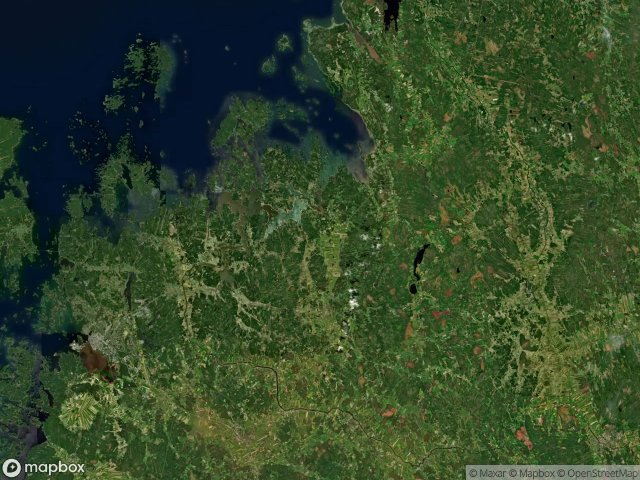
44 개의 검증된 GPS 좌표, Ostrobothnia, Western Finland, 핀란드.
Looking for abandoned places in Ostrobothnia, Western Finland, 핀란드? Urbex Maps offers 44 verified GPS coordinates of abandoned buildings in this area, including .
44
verified spots
GPS
Google Maps, Waze
2026년 6월
last update
Where to find abandoned places in Ostrobothnia?
The best way to find abandoned places in Ostrobothnia is through the interactive urbex map on Urbex Maps with 44 verified GPS coordinates. Top categories are .
스팟: Ostrobothnia

Bertilsbacken, Oravais

Bur, Forsby

Fätået, Vörå

Genvägen, Munsala

Geometry of Parsed Silence

Heide, Lappfors

Hjulfors, Pedersöre

Imported via Ghostly Coordinates

Karhuntie, Vaasa

Karlebyvägen, Oravais

Kilen, Sideby

Kortjärvi, Kronoby

Kronvikintie, Vaasa

Nederbyvägen, Munsala

Norra Larsmovägen, Näs

Ojaniementie, Vähäkyrö

Onkilahden ranta, Vaasa

Pläkkyrinkuja, Vähäkyrö

Pub FAF, Nykarleby

Rantatie, Isokyrö

Rundt, Jeppo

Rundt, Ytterjeppo

Saarnitie, Vaasa

Shadows Within the Grid

Shadows of the Vector

Shadows of the Vector

Socklotvägen, Socklot

Sorvistvägen, Nykarleby

Södra Munsalavägen, Munsala

Tallbacka, Bennäs

The Forgotten Coordinate

The Geometry of Silence

The Imported Grid Echo

The Latent Coordinate

The Latent Coordinate

The Mapped Ghost Point

The Plotted Silence

Torikatu, Vaasa

Tuuliniementie, Vaasa

Tuuralantie, Tuurala

Vertices of the Void

Vähänkyrön Vanha Meijeri, Vähäkyrö

Västervikintie, Vaasa

Åsbackavägen, Kronoby