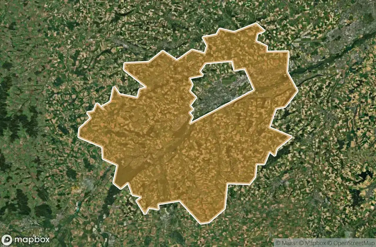
Urbex 지도 Wels Land
21 개의 폐허: Wels Land
21
스팟
일회성 결제 - 평생 접근
100% 안전한 결제
SSL 암호화 연결 · 은행 정보 저장 안 함
평생 업데이트
이 팩에 포함된 주제
- 벙커
- 군사
- 폐허
모든 폐허: Wels Land
21 개의 검증된 GPS 좌표, Wels Land, Oberosterreich, 오스트리아.
Vous cherchez des lieux abandonnes a Wels Land, Oberosterreich, 오스트리아 ? Urbex Maps propose 21 coordonnees GPS verifiees de batiments abandonnes dans cette zone, dont 벙커, 군사, 폐허.
21
spots verifies
GPS
Google Maps, Waze
2026년 6월
derniere mise a jour
Ou trouver des lieux abandonnes a Wels Land ?
Les lieux abandonnes a Wels Land se trouvent le mieux via la carte urbex interactive de Urbex Maps avec 21 coordonnees GPS verifiees. Les categories principales sont 벙커, 군사, 폐허.
Types de lieux abandonnes a Wels Land
- 벙커
- 군사
- 폐허
스팟: Wels Land

Hetzendorf, Weißkirchen an der Traun

Marchtrenk

Secrets of the Crimson Grange

Shadows Beneath the Emerald Veil

Shadows of the Crimson Grange

Shadows of the Crimson Grange

Shadows of the Strangled Estate

Stadl-Paura

The Broken Crown of Industry

The Hollow Heart of Harvest

The Hollow Heart of Harvest

The Imported Geometric Void

The Labyrinth of Verdant Shadows

The Sentinel of the Silent Rail

The Shrouded Industrial Monolith

The Silent Gables of Crimson Rise

The Silent Grip of Verdant Lane

Threshold of the Vanished Sky

Where the Furrows End

Whispers of the Forgotten Junction

Whispers of the Tangled Hearth