Urbex 지도 Braunau Am Inn
25 개의 폐허: Braunau Am Inn
25
스팟
일회성 결제 - 평생 접근
100% 안전한 결제
SSL 암호화 연결 · 은행 정보 저장 안 함
평생 업데이트
이 팩에 포함된 주제
- 농장
- 버려진 집
모든 폐허: Braunau Am Inn
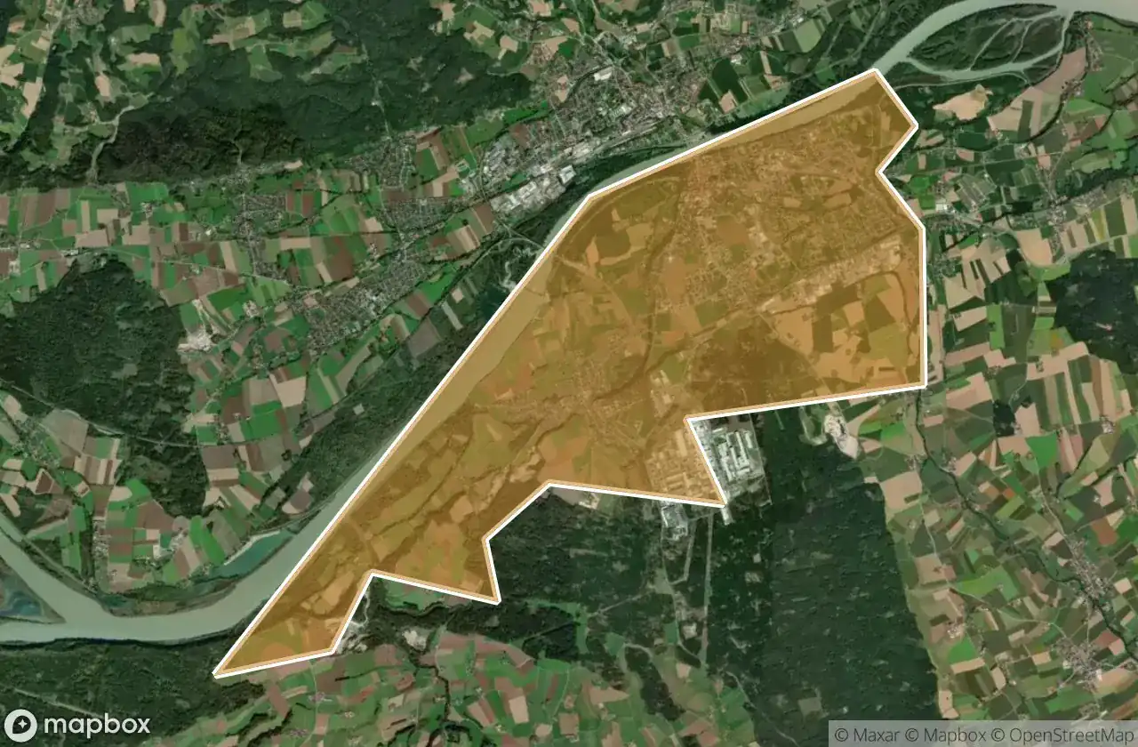
25 개의 검증된 GPS 좌표, Braunau Am Inn, Oberosterreich, 오스트리아.
Looking for abandoned places in Braunau Am Inn, Oberosterreich, 오스트리아? Urbex Maps offers 25 verified GPS coordinates of abandoned buildings in this area, including 농장, 버려진 집.
25
verified spots
GPS
Google Maps, Waze
2026년 6월
last update
Where to find abandoned places in Braunau Am Inn?
The best way to find abandoned places in Braunau Am Inn is through the interactive urbex map on Urbex Maps with 25 verified GPS coordinates. Top categories are 농장, 버려진 집.
Types of abandoned places in Braunau Am Inn
- 농장
- 버려진 집
스팟: Braunau Am Inn

Bernhof, Schwand im Innkreis

Bitzlthal, Gilgenberg am Weilhart
![Dead Spot - Nameless Farm [AUT]](/api/images/9a9b5db034636c75)
Dead Spot - Nameless Farm [AUT]

Dorfbeuern

Fragments of a Mapped Past

Gilgenberg Revier, Gilgenberg am Weilhart

Ort, Helpfau-Uttendorf

Relic of the Silent Frontier

Secrets of the Verdant Veil

Shadows of the Crimson Grove

Shadows of the Fallow Sisters

Shadows of the Nameless Sector

Siebenmaiern, Schwand im Innkreis

Steinbruch, Uttendorf

Tal, Braunau am Inn

The Geometry of Absence

The Geometry of Silence

The Phantom Coordinate Trace

The Silent Watch of Rust

The Watcher of Silent Meadows

Traces of the Vector

Unterlochen, Oberlindach

Whispers of the Shrouded Gables

Wollöster, Eglsee

Österlehen