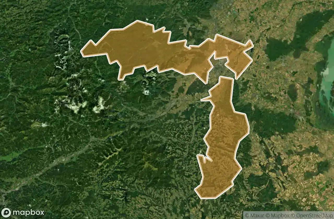
Urbex 지도 Wiener Neustadt Land
39 개의 폐허: Wiener Neustadt Land
39
스팟
일회성 결제 - 평생 접근
100% 안전한 결제
SSL 암호화 연결 · 은행 정보 저장 안 함
평생 업데이트
이 팩에 포함된 주제
- 폐허
- 벙커
- 요새
- 병원
- 요양원
모든 폐허: Wiener Neustadt Land
39 개의 검증된 GPS 좌표, Wiener Neustadt Land, Niederosterreich, 오스트리아.
Looking for abandoned places in Wiener Neustadt Land, Niederosterreich, 오스트리아? Urbex Maps offers 39 verified GPS coordinates of abandoned buildings in this area, including 폐허, 벙커, 요새, 병원, 요양원.
39
verified spots
GPS
Google Maps, Waze
2026년 6월
last update
Where to find abandoned places in Wiener Neustadt Land?
The best way to find abandoned places in Wiener Neustadt Land is through the interactive urbex map on Urbex Maps with 39 verified GPS coordinates. Top categories are 폐허, 벙커, 요새, 병원, 요양원.
Types of abandoned places in Wiener Neustadt Land
- 폐허
- 벙커
- 요새
- 병원
- 요양원
스팟: Wiener Neustadt Land

Alter Kalkofen, Markt Piesting

Bildbaum mit Jesusbild, Hernstein

Bründl, Wöllersdorf

Echoes of the River Road

Ehemalige Rotes Kreuz Ortsstelle Markt Piesting

Encoded Points of Silence

Gedenkkreuz Christina Schießl, Wopfing

Hauptplatz, Kirchschlag in der Buckligen Welt

Hochkogelstraße, Maiersdorf

Luftwaffenstraße, Hölles

Luftwaffenstraße, Hölles

Markt Piesting

Mitterweg, Hernstein

Nagerlschneid, Hernstein

Nagerlschneid, Hernstein

Pecherpfad, Hölles

Pecherpfad, Hölles

Ruine Frohnberg, Scheuchenstein

Ruinen der ehemaligen "Lindkogler Hütte" auf der Vordermandling

Sanatorium Feichtenbach

Shadows of the Iron Monolith

Shadows of the Mapped Void

Shattered Bones of Industry

The Fractured Spine of Ivy

The Ghost in the Coordinates

The Latent Geometry

The Residual Grid Ghost

The Sentinel of Sunken Rails

The Unmapped Coordinate

Theresienfeld

Traces Within The Grid

Traces of Mapped Silence

Traces of a Ghost Node

Waldstraße, Hölles

Waldstraße, Hölles

Weikersdorf am Steinfelde

Whispers from the Tangled Gable

Whispers of the Stone Citadel

ehem. Roseggerwarte