Urbex 지도 Modling
22 개의 폐허: Modling
22
스팟
일회성 결제 - 평생 접근
100% 안전한 결제
SSL 암호화 연결 · 은행 정보 저장 안 함
평생 업데이트
이 팩에 포함된 주제
- 벙커
- 폐공장
- 군사
- 폐허
- 창고
모든 폐허: Modling
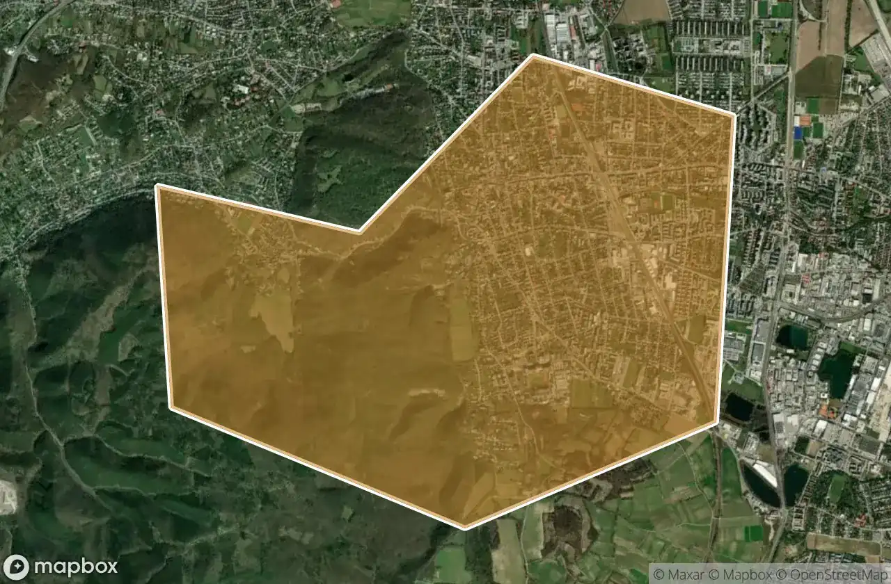
22 개의 검증된 GPS 좌표, Modling, Niederosterreich, 오스트리아.
Looking for abandoned places in Modling, Niederosterreich, 오스트리아? Urbex Maps offers 22 verified GPS coordinates of abandoned buildings in this area, including 벙커, 폐공장, 군사, 폐허, 창고.
22
verified spots
GPS
Google Maps, Waze
2026년 6월
last update
Where to find abandoned places in Modling?
The best way to find abandoned places in Modling is through the interactive urbex map on Urbex Maps with 22 verified GPS coordinates. Top categories are 벙커, 폐공장, 군사, 폐허, 창고.
Types of abandoned places in Modling
- 벙커
- 폐공장
- 군사
- 폐허
- 창고
스팟: Modling

Am Kanal, Gumpoldskirchen

Echoes of the Data String

Elisabethstraße, Perchtoldsdorf

Gaadner Straße, Weissenbach

Hennersdorf

Josef Schöffel-Straße, Gumpoldskirchen

Josef Schöffel-Straße, Gumpoldskirchen

Kalenderweg, Gumpoldskirchen

Kaltenleutgeben

Lost Warehouse

Shadows of the Solar Crescent

Siebenbrunnengraben, Gaaden

The Coordinate Ghost

The Forgotten Concrete Colossus

The Iron Spine of Shadows

The Mapped Silence

The Sanctuary of Silent Applause

Traces in the Grid

Whispers of the Iron Garden

ehem. Bergmühle

ehem. Kalkofen und Zementwerk "Stollwiese"?

ehem. Waldmühle