Urbex 지도 Sankt Veit An Der Glan
36 개의 폐허: Sankt Veit An Der Glan
36
스팟
일회성 결제 - 평생 접근
100% 안전한 결제
SSL 암호화 연결 · 은행 정보 저장 안 함
평생 업데이트
이 팩에 포함된 주제
- 폐허
- 명소
- 성
모든 폐허: Sankt Veit An Der Glan
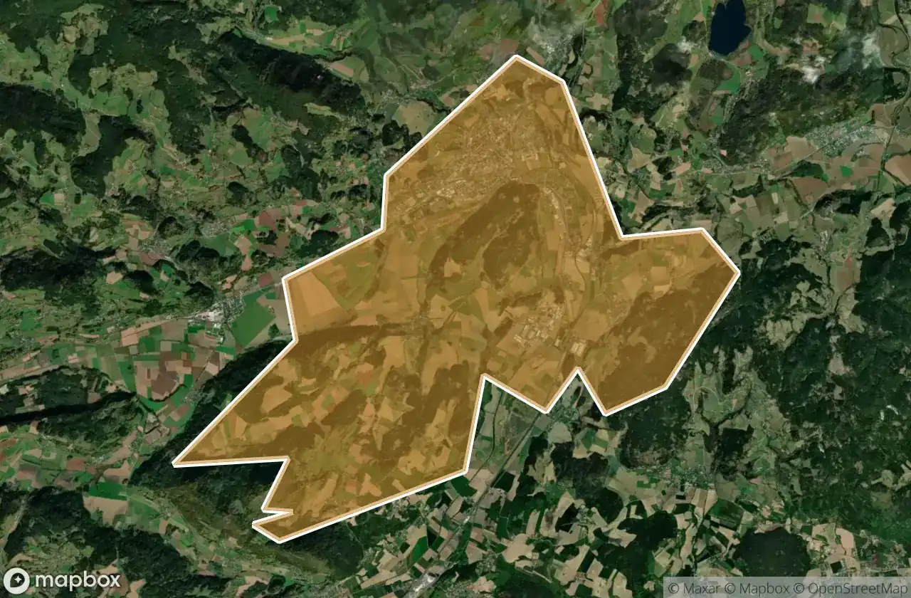
36 개의 검증된 GPS 좌표, Sankt Veit An Der Glan, Karnten, 오스트리아.
Looking for abandoned places in Sankt Veit An Der Glan, Karnten, 오스트리아? Urbex Maps offers 36 verified GPS coordinates of abandoned buildings in this area, including 폐허, 명소, 성.
36
verified spots
GPS
Google Maps, Waze
2026년 6월
last update
Where to find abandoned places in Sankt Veit An Der Glan?
The best way to find abandoned places in Sankt Veit An Der Glan is through the interactive urbex map on Urbex Maps with 36 verified GPS coordinates. Top categories are 폐허, 명소, 성.
Types of abandoned places in Sankt Veit An Der Glan
- 폐허
- 명소
- 성
스팟: Sankt Veit An Der Glan

Burgruine Alt-Liemberg, Liebenfels

Burgruine Freiberg, Obermühlbach

Burgruine Grünburg, Klein Sankt Paul

Burgruine Karlsberg, St. Veit an der Glan

Burgruine Kleinhornburg, Klein Sankt Paul

Burgruine Niederkraig, Zensweg

Eisenstraße, Treibach

Gasteige, Hirt

Ghosts of the Lattice

Gratschitz, Mölbling

Große Hornburg, Klein Sankt Paul

Habernig Mühle

Hoch-Liebenfels, Pulst

Lölling Graben, Lölling

Plaggowitz, Hüttenberg

Plaggowitz, Hüttenberg

Sankt Ulrich am Johannserberg, Brückl

Schmaritzen, Sankt Georgen

Shadows Within the Vector

Shadows of the Geometry

Shadows of the Schema

St.Veiter Straße, Olsa

The Encoded Silence

The Grid’s Silent Echo

The Imported Ghost Grid

The Imported Spatial Echo

The Latent Coordinate

The Mapped Silence

The Plotted Silence

The Plotted Silence

The Plotted Void

Traces of a Mapped Silence

Tschadam, Radelsdorf

Unteraich, Straßburg

Vellach, Metnitz

Zosen, Hüttenberg