Urbex マップ Randolph
14 の廃墟: Randolph
14
スポット
一回払い - 永久アクセス
永久更新
すべての廃墟: Randolph
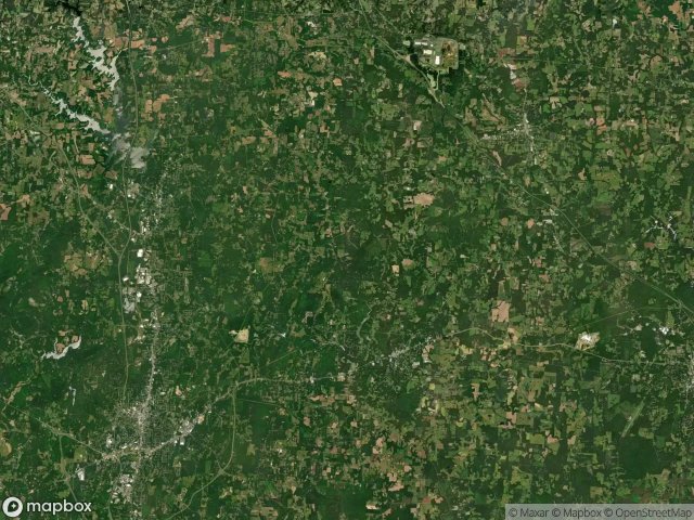
14 の検証済みGPS座標、 Randolph, North Carolina, アメリカ.
Vous cherchez des lieux abandonnes a Randolph, North Carolina, アメリカ ? Urbex Maps propose 14 coordonnees GPS verifiees de batiments abandonnes dans cette zone, dont .
14
spots verifies
GPS
Google Maps, Waze
2026年6月
derniere mise a jour
Ou trouver des lieux abandonnes a Randolph ?
Les lieux abandonnes a Randolph se trouvent le mieux via la carte urbex interactive de Urbex Maps avec 14 coordonnees GPS verifiees. Les categories principales sont .
スポット: Randolph

Columbia Street, Staley

Commonwealth Street, Randleman

Cooper Street, Staley

Fritz Farm Road

Mack Road

Old 421 Road, Staley

Pittsboro Street, Staley

Richard K. Pugh Highway, Asheboro

Roxana

South Kirkman Street, Liberty

South Staley Street, Staley

South Staley Street, Staley

Traces of a Mapped Void

Ward Road