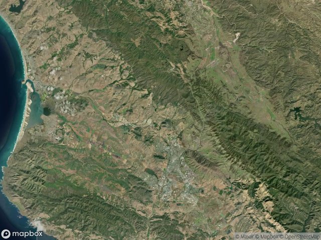
Urbex マップ San Luis Obispo
12 の廃墟: San Luis Obispo
12
スポット
一回払い - 永久アクセス
永久更新
このパックに含まれるテーマ
- 橋
- 難破船
すべての廃墟: San Luis Obispo
12 の検証済みGPS座標、 San Luis Obispo, California, アメリカ.
Looking for abandoned places in San Luis Obispo, California, アメリカ? Urbex Maps offers 12 verified GPS coordinates of abandoned buildings in this area, including 橋, 難破船.
12
verified spots
GPS
Google Maps, Waze
2026年6月
last update
Where to find abandoned places in San Luis Obispo?
The best way to find abandoned places in San Luis Obispo is through the interactive urbex map on Urbex Maps with 12 verified GPS coordinates. Top categories are 橋, 難破船.
Types of abandoned places in San Luis Obispo
- 橋
- 難破船
スポット: San Luis Obispo

Dairy Creek Road

El Camino Real, Atascadero

Lose You Marbles

Old Pismo Railroad Bridge

Pasadena Drive, Baywood Park

Pippin Corner

Point Estero Shipwreck

Return of the Jantai

The Geometry of Silence

Tomasini Road

Unocal, Avila Beach

West Branch Street, Arroyo Grande