Urbex マップ Northumberland
13 の廃墟: Northumberland
13
スポット
一回払い - 永久アクセス
100% 安全な決済
SSL暗号化通信 · 銀行情報は保存されません
永久更新
すべての廃墟: Northumberland
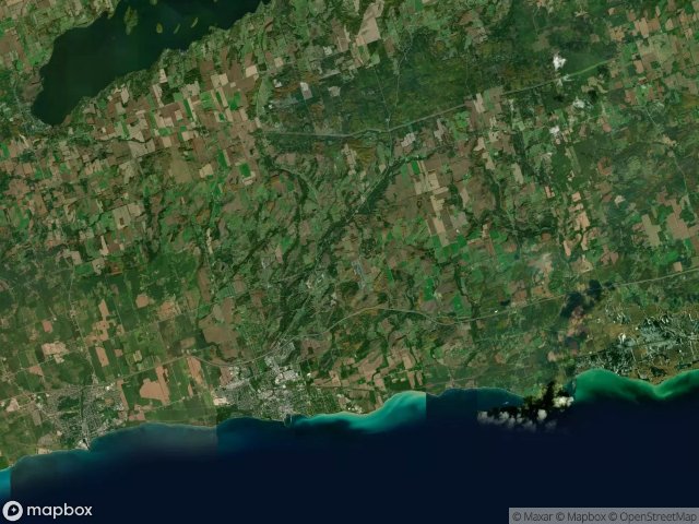
13 の検証済みGPS座標、 Northumberland, Ontario, カナダ.
Vous cherchez des lieux abandonnes a Northumberland, Ontario, カナダ ? Urbex Maps propose 13 coordonnees GPS verifiees de batiments abandonnes dans cette zone, dont .
13
spots verifies
GPS
Google Maps, Waze
2026年6月
derniere mise a jour
Ou trouver des lieux abandonnes a Northumberland ?
Les lieux abandonnes a Northumberland se trouvent le mieux via la carte urbex interactive de Urbex Maps avec 13 coordonnees GPS verifiees. Les categories principales sont .
スポット: Northumberland

Cavan Street, Port Hope

County Road 2, Cramahe

County Road 2, Hamilton Township

Cranberry Road, Port Hope

Econo, Garden Hill

King Street East, Colborne

Northumberland County 45, Hastings

Oak Hill Road, Port Hope

Shadows Within the Grid

The Mapped Silence

Traces of the Mapped Void

Vernonville, Alnwick/Haldimand

Victoria Street North, Port Hope