Urbex マップ Cardiff
16 の廃墟: Cardiff
16
スポット
一回払い - 永久アクセス
100% 安全な決済
SSL暗号化通信 · 銀行情報は保存されません
永久更新
このパックに含まれるテーマ
- 教会
- 病院
すべての廃墟: Cardiff
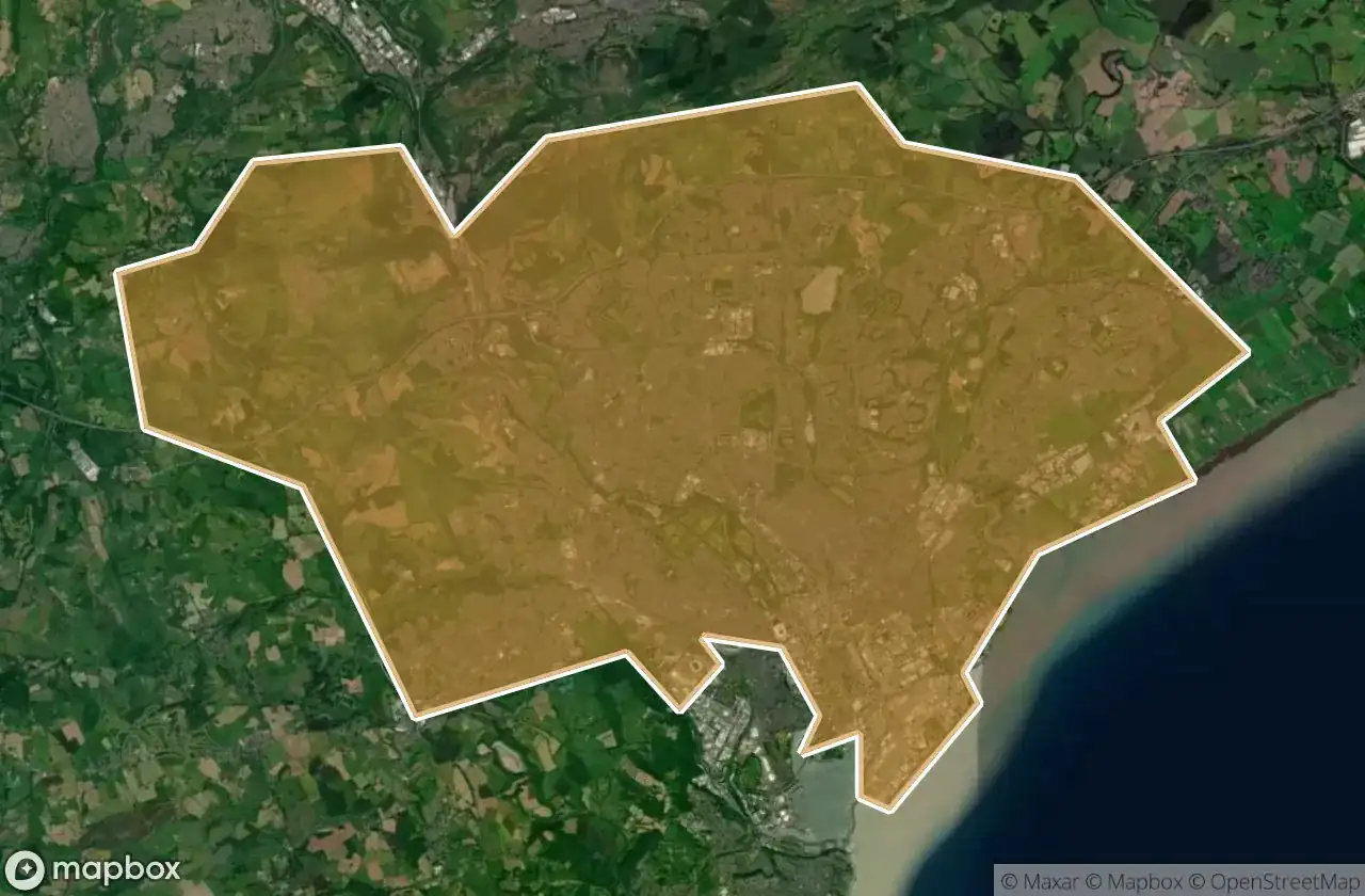
16 の検証済みGPS座標、 Cardiff, Wales, イギリス.
Looking for abandoned places in Cardiff, Wales, イギリス? Urbex Maps offers 16 verified GPS coordinates of abandoned buildings in this area, including 教会, 病院.
16
verified spots
GPS
Google Maps, Waze
2026年6月
last update
Where to find abandoned places in Cardiff?
The best way to find abandoned places in Cardiff is through the interactive urbex map on Urbex Maps with 16 verified GPS coordinates. Top categories are 教会, 病院.
Types of abandoned places in Cardiff
- 教会
- 病院
スポット: Cardiff

Barbican Wall

Cardiff

Cardiff

Ferrier Avenue, Cardiff

Haunted Asylum

Park Road, Cardiff

Pentrebane Road, Cardiff

Radyr

Remains of St Marys Church

Rookwood Hospital

Rudry Road, Cardiff

St Edeyrn's Village, Cardiff

The Chantry, Cardiff

Tiger Bay, Cardiff

Tŷ Draw Road, Cardiff

Tŷ Draw Road, Cardiff