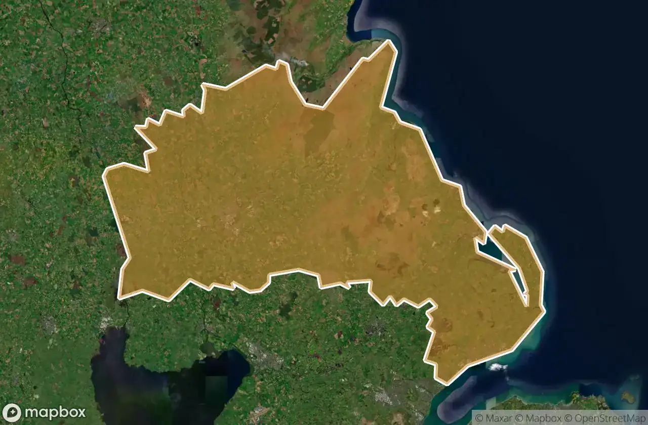
Urbex マップ Mid And East Antrim
15 の廃墟: Mid And East Antrim
15
スポット
一回払い - 永久アクセス
100% 安全な決済
SSL暗号化通信 · 銀行情報は保存されません
永久更新
すべての廃墟: Mid And East Antrim
15 の検証済みGPS座標、 Mid And East Antrim, Northern Ireland, イギリス.
Looking for abandoned places in Mid And East Antrim, Northern Ireland, イギリス? Urbex Maps offers 15 verified GPS coordinates of abandoned buildings in this area, including .
15
verified spots
GPS
Google Maps, Waze
2026年6月
last update
Where to find abandoned places in Mid And East Antrim?
The best way to find abandoned places in Mid And East Antrim is through the interactive urbex map on Urbex Maps with 15 verified GPS coordinates. Top categories are .
スポット: Mid And East Antrim

Adelaide Avenue, Whitehead

Belfast Road, Carrickfergus

Coast Road, Larne

Larne Road, Carrickfergus

Larne Road, Whitehead

Mullaghmore Park, Greenisland

Queen Street, Ballymena

Shadows in the Coordinates

Spooky palace

The Geometry of Silence

The Imported Silent Geometry

The Mapped Silence

Traces of Latent Geometry

Vectors of Forgotten Space

Whitehead Congregational Church, Whitehead